
Comuna Dorna - Arini: Holiday Apartments and Holiday Homes
Accommodation in Comuna Dorna - Arini
Geographical Location
Comuna Dorna-Arini is located in Țara Dornelor. The Suhard Massif lies to the north and the Călimani Mountains to the south; to the east, the area is bordered by Cheile Zugrenilor. The commune features a mountainous landscape.
The commune’s road network includes the DN 17B from Vatra Dornei towards Bicaz and the DJ 174 from Vatra Dornei towards Panaci; local roads branch off from them.
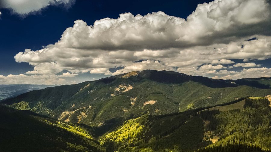 File:Comuna Dorna - Arini, Romania - panoramio (1).jpg
Photo: Mihai Burlacu via Wikimedia Commons, CC BY-SA 3.0
File:Comuna Dorna - Arini, Romania - panoramio (1).jpg
Photo: Mihai Burlacu via Wikimedia Commons, CC BY-SA 3.0
Some travel plans for Comuna Dorna - Arini begin with the desire to rent a holiday apartment.
Nature and Landscape
Part of the Cheile Zugrenilor nature reserve is located in Comuna Dorna-Arini. The commune classifies it as a nature reserve of national importance.
Dorna-Arini is home to forest, aquatic and montane agroecosystems, including forests, rivers and streams, wetlands, meadows and natural pastures, as well as small-scale agricultural areas. The Bistrița River flows through the locality and divides it into two asymmetrical areas.
The surroundings of Comuna Dorna-Arini include the Pietrosul Bistriței peak, Muntele Pietrosul, Giumalău and Rarăul.
Culture
The traditional “Cântecul cetinii” festival reached its 20th edition in 2016 and was organised as part of the “Cobza de vacanță…la Dorna Arini” tourism project. As part of the same tourism project, a festival of winter customs and Christmas carols was also organised in Comuna Dorna-Arini.
The “Mănăstirea Acoperământul Maicii Domnului” monastery is located in the village of Gheorghițeni in Comuna Dorna-Arini, approximately five kilometres from Vatra Dornei. It is built entirely of wood and has a 60-metre-high wooden bell tower. The Schitul Rarău monastery is located in the immediate surroundings of Comuna Dorna-Arini.
The Biserica Ortodoxă Breaza church and the Biserica Ortodoxă Deia church are located in the wider regional surroundings of Comuna Dorna-Arini.
Routes
Route 05MB20 is a challenging route approximately 22 kilometres long, with more than 1,500 metres of elevation gain. Its highest point, at 1,426 metres, is reached near the Mănăstirea Piatra Tăieturii monastery. On route 05MB20, the trail runs along the Bistriței ridge through clearings and pastures, offering views of the Giumalău Massif and the Călimani Mountains.
The MTB route 05MB16 is a downhill descent from Cabana Giumalău via Vârful Bobeica and Piciorul Ruscii to the village of Rusca, offering views of Comuna Dorna-Arini, the Munții Bistriței and the Bistrița Valley. The route is classified as moderate, is 6.8 kilometres long and has 824 metres of descent. It consists of a descent for 90 percent of its length, follows the yellow blaze marking throughout and ends at Rusca by the concrete bridge on the Vatra Dornei–Poiana Largului–Piatra Neamț main road.
The Panaci–Schitul Piatra Tăieturii–Cozănești route was created as part of the “Cu bicicleta în Țara Dornelor” project. It is a moderate route covering 24.2 kilometres with approximately 520 metres of elevation gain.
Further local information can be found under Dorna Arini.
For the broader travel overview: Suceava.
More Destinations
More places in the same destination:

.jpg)