
Colibița at Lake Colibiţa – Hiking Trails and Mountain Views
Accommodation in Colibița
Colibița lies on Lake Colibiţa at an altitude of approximately 800 metres, on the border between the Călimani Mountains and the Bârgău Mountains. The village is one of the gateways to Călimani National Park. Lake and mountain landscapes are found in close proximity here; around Colibița there are hiking trails, viewpoints and natural areas.
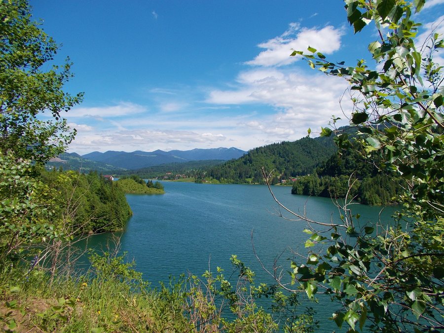
Lake, mountains and protected landscapes
Lake Colibiţa shapes the landscape around Colibița. The Valea Repedea protected area in the Călimani Mountains features impressive erosion formations, groups of larches, and protected plant and animal species.
Hiking trails through varied landscapes
Several routes begin in or pass through Colibița. One hiking route leads from Colibiţa Sat via Gura Izvoarelor, Pârâul Colbu and Culmea Plaiului to Gura Plaiului near Bistricior. Another route runs from Colibiţa Sat via Gura Izvoarelor, Izvorul Lung, Poiana Terha, Viişorul, Străcior and Bistricior to Ţuţurgău. Both trails start in Colibiţa Sat and initially lead via Gura Izvoarelor; after that, their routes and endpoints diverge: one route ends at Gura Plaiului near Bistricior, while the other ends at Ţuţurgău. After their shared beginning, the two routes continue as separate lines; this is relevant when specifically planning a hiking day in Colibiţa and choosing a trail.
The Barajul Colibiţa–Tăul Zânelor hiking trail begins by crossing the Colibiţa dam. For the first 7.5 kilometres, it follows a forest road; Lake Colibiţa remains continuously on the left until the trail reaches an altitude of approximately 1,150 metres. For day planning, the 7.5-kilometre forest-road section can be treated as a separate part of the route; the altitude of approximately 1,150 metres marks the later section. The Colibiţa–Tăul Zânelor hiking trail starts in the village of Colibiţa at an altitude of 800 metres and is considered the main way to reach Tăul Zânelor from the area around Lake Colibiţa. The Bistricioru trail leads through a spruce forest and offers views of the Bistricioru cirque, Lake Colibiţa and Vf. Pietrosul Călimani at an altitude of 2,100 metres.
Access via DJ172D
For orientation when travelling to the area, DJ172D is an important connection: it leads from Mureșenii Bârgăului at DN17 via Lake Colibiţa and Colibiţa to Bistriţa Bârgăului. The access route from Mureșenii Bârgăului runs via local and forest roads.
Public access points and viewpoints
At Lake Colibiţa there are two signposted public access areas for pedestrians and cyclists. At the summit of the route via Piatra lui Orban, there is a rest area and a viewpoint overlooking Lake Colibiţa and the Bârgău Mountains. The rest area at the summit of the route via Piatra lui Orban marks a specific spot for taking a break.
For the overarching travel overview: Bistrita Bargaului.

