
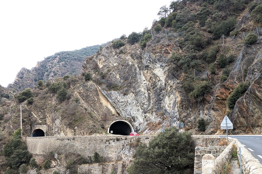
Those who choose Canaveilles as a travel destination may wish to rent a holiday apartment here.
Culture and history
The remains of Château de Cérola are located on a promontory above the left bank of the Têt. Sant Père d’Eixalada is considered a small Romanesque church associated with the former village near Cérola.
On the left bank of the Têt lies the Canaveilles-les-Bains thermal station, around 100 metres below the Route nationale 116. It is situated at an altitude of 700 metres and has now been abandoned.
The present-day church of Saint-André de Llar dates from the late 10th or 12th century and was restored in the 2000s. The Church of Saint-Martin in Canaveilles is Romanesque in style and is already mentioned in written sources from 1011 onwards.
Hiking and trails
“Sur la route des canons” is a difficult 10.6-kilometre circular hike starting from Canaveilles. The circular trail includes a chapel, a signal tower and a historic route as heritage features. It also offers views of the upper Têt valley, Haut-Conflent, the Carança gorges and the high border peaks.
Landscape and surroundings
Roc dels Trepassants is a summit in the immediate vicinity of Canaveilles, as is Roc dels Cimbells. Llomet is a summit in the vicinity of Canaveilles. Puig de la Segalissa is a summit in the vicinity of Canaveilles.
Pedra Dreta is an ancient site in the wider regional area around Canaveilles. Abbaye Saint-Martin du Canigou is a monastery in the vicinity of Canaveilles. The wider regional area also includes Abbaye de Jau, a ruin, and Abbaye de Saint-Michel de Cuxa, a monastery.

