
Étais-La-Sauvin: Holiday Apartments and Holiday Homes
Accommodation in Étais-La-Sauvin
Two hiking trails start in Étais-la-Sauvin. The Chemin de Bel-Air is a marked, 10.11-kilometre-long, easy circular hiking trail starting in Étais-la-Sauvin. The Randonnée des Écoliers also begins here; it is a 10.92-kilometre hiking route of moderate difficulty.
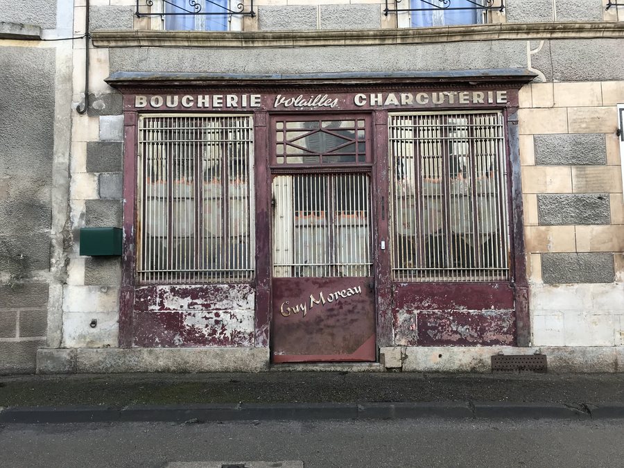 File:Ancienne boucherie à Étais-la-Sauvin (Yonne, France).jpg
Photo: Benoît Prieur via Wikimedia Commons, CC0
File:Ancienne boucherie à Étais-la-Sauvin (Yonne, France).jpg
Photo: Benoît Prieur via Wikimedia Commons, CC0
Nature and Trails
Étais-la-Sauvin is located on the southern edge of the Yonne département and borders the Nièvre département. The landscape is hilly and wooded. The Montagne des Alouettes reaches an elevation of 364 metres.
History and Culture
In the cemetery of Montivieux, the choir of a 14th-century church has been preserved as a chapel; the church was partially demolished in 1808. On the ridge of the Montagne des Alouettes, the route of the former Roman road between Auxerre, Entrains and Mesves is still visible.
The Église Saint Pierre was built around 1539 to replace an earlier religious building. A sundial is located on its southern façade.
Renting a holiday apartment in Étais-la-Sauvin can be part of your personal travel plans.
Regional Products
The Chèvrerie Fondriot is a cheese dairy in Bois Avril, Étais-la-Sauvin. Ferme du Buisson offers organic poultry, organic fruit, apple juice, oil and vinegar in Les Villenots. At Ferme du Buisson, farm-gate sales are available by appointment by email or telephone.
To the overview of destinations: Yonne.
More Destinations
More places within the same destination:

.jpg)