
Epauvillers: Holiday Apartments and Holiday Homes
Accommodation in Epauvillers
Epauvillers is situated at 696 m above sea level in a depression on the southern slope of the Jura range of Clos du Doubs, around 230 m above the valley floor of the Doubs.
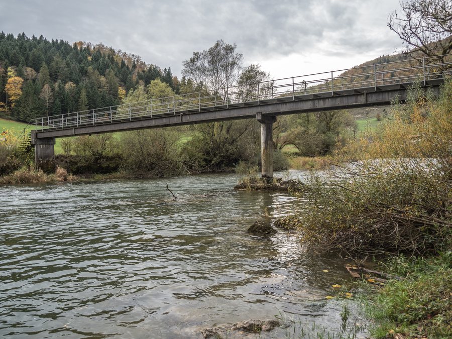 File:La Charbonnière-Steg über den Doubs, Epauvillers JU 20231029-jag9889.jpg
Photo: Jag9889 via Wikimedia Commons, CC BY-SA 4.0
File:La Charbonnière-Steg über den Doubs, Epauvillers JU 20231029-jag9889.jpg
Photo: Jag9889 via Wikimedia Commons, CC BY-SA 4.0
Anyone wishing to rent a holiday apartment in Epauvillers can get to know the village through its location, landscape and surroundings.
Landscape
The former municipality of Epauvillers included the foothills that descend steeply via Sous les Roches to the deeply incised Doubs, the broad Fin du Teck ridge at 892 m above sea level, the Bois de Villers with its highest point at 917 m, and the rocky promontory of Chêtelat at 841 m.
In the former municipality of Epauvillers, 53% of the land was used for agriculture and 43% consisted of forests and wooded areas in 1997.
Mont Terri is located in the vicinity of Epauvillers. The hills of Mont Russelin and Cras au Sauvage are also located nearby.
Culture and History
The historic site “Lützel (Abbey: Lützel, Switzerland)” is located in the vicinity of Epauvillers. The ruins of Château de Morimont are also located near Epauvillers. Lützel Abbey is likewise located in the vicinity of Epauvillers.
Surroundings
The ruins of Château du Liebenstein are located in the wider regional surroundings of Epauvillers. The Etang des Coeudres aquarium is also located in the wider regional surroundings of Epauvillers.
Muriaux, Les Bois, Le Bémont, Lajoux, Saignelégier, Les Breuleux, La Chaux-des-Breuleux, Le Noirmont
For the higher-level travel overview: Franches-Montagnes.

