
Alcoleja: Hiking Trails, Water Destinations and Festivals
Accommodation in Alcoleja
Townscape and History
Alcoleja lies northwest of the Sierra de Aitana at an altitude of 740 meters. Alcoleja is the reference municipality for the PR-CV 21, a 15-kilometer-long linear hiking trail. Thus, the municipality brings together a distinctive high-altitude location and a clearly designated hiking trail.
The historic town center of Alcoleja has Muslim origins and can be explored on foot. Alcoleja is home to the parish church of San Vicente Ferrer, a place of worship. Beniafé is a small cluster of houses belonging to Alcoleja. The chapel of Verge dels Desamparats, also a place of worship, is located in Beniafé.
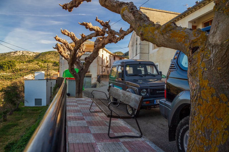 File:Bench by Carrer de San Antoni in Alcoleja, Valencia, Spain, 2020 January.jpg
Photo: Ximonic (Simo Räsänen) via Wikimedia Commons, CC BY-SA 4.0
File:Bench by Carrer de San Antoni in Alcoleja, Valencia, Spain, 2020 January.jpg
Photo: Ximonic (Simo Räsänen) via Wikimedia Commons, CC BY-SA 4.0
The historic centers of Alcoleja and Beniafé are about 20 minutes apart on foot. The stated walking time provides a time reference if you would like to fit the town’s history and the associated cluster of houses into the same day’s itinerary.
Other Places
El Verger, San Bartolomé, Callosa D'en Sarrià, Forna, Benigembla, Tàrbena, Callosa De Segura and Orxeta
Trails and Nature
The PR-CV 21 begins 250 meters from Puerto de Tudons in the direction of Alcoleja. Its route is connected, among other things, with the Aitana, Serrella y Puig Campana Site of Community Importance (SCI) and the Penya de la Font Vella flora micro-reserve.
No quality checks have been carried out on the PR-CV 21 in recent years; therefore, it is not certain that the signage and maintenance are optimal.
Toll de Cabrera is a pool fed by a waterfall on the Frainós River. The E3 Alcoleja excursion: Springs, Mills and Waterfalls leads as far as Salt de Silvia and includes the Cascada del Rincón de los Enamorados as well as the Manantial Ull de la Font spring.
The approximately 60-kilometer-long Ruta 6: Ríos Amadorio, Sella y Penáguila is a water route that runs through Alcoleja, among other places. Different trail types and route lengths can be compared for your own planning according to scope and thematic focus. The routes therefore differ in route format and thematic focus; these two characteristics can be considered separately when planning a personal day trip or excursion. This creates a comparison between a hiking trail, an excursion and a water route.
For a stay in Alcoleja, travel dates, room category and cancellation conditions may be the key points of comparison when selecting a holiday apartment. Considering this information separately keeps the accommodation decision clear and allows you to weigh your personal priorities for the stay at your leisure.
The Annual Cycle and Traditions
Alcoleja’s patron-saint festivals take place in August in honor of Saint Vincent Ferrer and the Virgin of the Forsaken. The patron-saint festivals include a large paella in the village square.
The Romería de la Virgen de los Desamparados takes place on the second weekend of May and leads to the chapel in Beniafé. During the Romería, women from Alcoleja carry the Virgin.
For the overarching travel overview: Alicante.

