
La Omañuela – Las Zancas Route, Nature and Culture
Accommodation in La Omañuela
La Omañuela combines a riverside route with traces of traditional water management, examples of architectural heritage and a varied landscape in the wider regional surroundings. This character is particularly evident along the Las Zancas Route: it runs along the banks of the Omaña River at the level of the village of La Omañuela and is a very easy and comfortable walking trail with hardly any inclines. Along the route, irrigation weirs and dams can be seen that were used to divert river water for irrigation. Exercise and the history of water use are found directly within the same landscape here.
As a second activity along the Las Zancas Route, La chita is suggested, a shepherds’ game for practising accuracy. Different approaches stand side by side along this route: the riverside path, the visible irrigation structures and a game. The individual themes can be considered separately without having to link them into a fixed sequence.
Culture
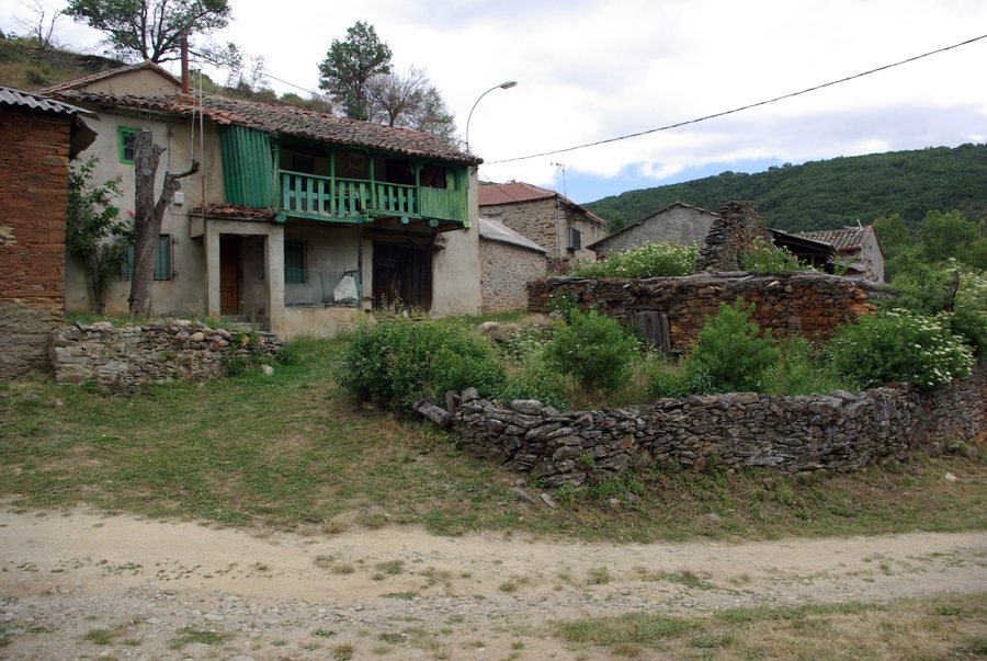
The Santuario de Pandorado, built in the 17th century, is located in the area of La Omañuela. The traditional architecture of La Omañuela includes houses with corredor and old barns.
La Omañuela also preserves an old irrigation installation known as a puerto de riego. It illustrates the traditional use of water through construction techniques adapted to the surroundings. The El Salvador church is also highlighted in La Omañuela as part of the local architectural heritage. The cultural perspective on La Omañuela encompasses religious buildings, everyday architecture and technical water-management installations.
Nature
The Omaña River in the riverside landscape of La Omañuela retains its natural alternation between high and low water levels. In this riverside landscape, the alder groves are among the best-preserved in Cuatro Valles.
The route from La Omañuela to Guisatecha passes through an alder-grove ecosystem regarded as one of the most valuable habitats in the north of the Iberian Peninsula. To distinguish between the paths and landscapes, the two routes can be considered separately: Las Zancas follows the river at the level of the village, while the connection to Guisatecha passes through the alder-grove ecosystem. The watercourse, riverside woodland and route form different, clearly named natural features.
Geographical Context
In the wider regional surroundings of La Omañuela are the Alto de la Cañada mountain, the Cueto Negro peak, the Peña Ubiña peak and the Picos del Fontán mountain range. The Parque Natural de Las Ubiñas - La Mesa is also located in this wider regional setting. These names define the wider regional surroundings as an additional geographical framework alongside the village, the riverbank and the route to Guisatecha.
When choosing a holiday apartment for La Omañuela, travel dates, room category and cancellation conditions may serve as separate criteria. As another aspect of travel planning, the riverside route represents a specific thematic focus that can be considered independently of this accommodation information.
For the broader travel overview: Riello.

