
Discover Melendreros: Hiking Trails and Mills
Accommodation in Melendreros
Melendreros marks the beginning of the officially waymarked circular route PR-AS 140 Peñamayor–Trigueiro, which climbs towards Pozo Funeres and then continues around Pico Triguero. It is 15.8 kilometres long and reaches a maximum elevation of 1,293 metres. Along the route are easily walkable paths, paved sections and forest trails.
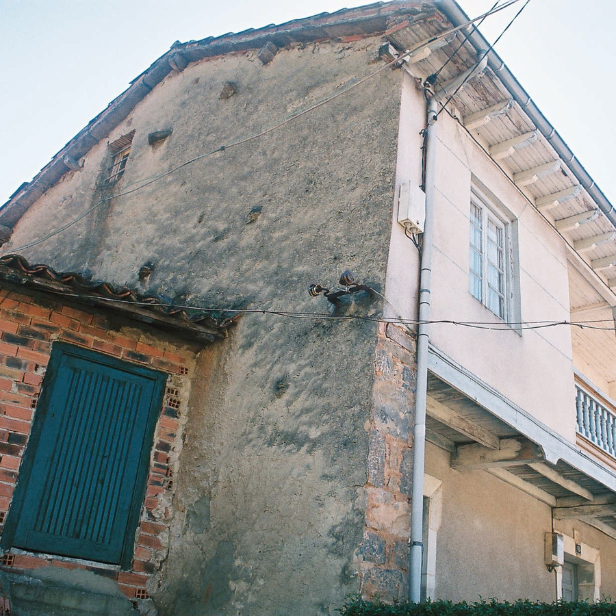 File:Casa Genera o Generosa en Melendreros, Santu Medero (Bimenes) 2.png
Photo: Conceyu Bimenes via Wikimedia Commons, CC BY-SA 4.0
File:Casa Genera o Generosa en Melendreros, Santu Medero (Bimenes) 2.png
Photo: Conceyu Bimenes via Wikimedia Commons, CC BY-SA 4.0
Hiking
Another route follows the PR-AS 142 Sendero Peña del Hombre. The linear hiking trail is 7.1 kilometres long, has a low difficulty level and has a stated duration of two hours.
From Xerru la Biesca, it offers views of Castañera, Pedreu and Melendreros. The trail passes the Molín de Fermina, crosses a bridge over the river at a place with waterfalls and then reaches Melendreros.
When comparing routes for your own daily planning, the circular route and the linear trail form two clearly recognisable types. The distance and stated duration provide additional points of comparison, while the different surfaces offer another distinction. The PR-AS 140 combines a loop, an ascent and several types of trail; the PR-AS 142 follows a linear route with a specified duration and the points mentioned between its starting point and destination.
For your own selection, the trails can first be distinguished by their form and extent: circular route, linear trail and stage offer different bases for comparison, while kilometre figures, duration and elevation provide different planning data. The types of trail and landscape features mentioned create a clear structure without combining the routes into a single itinerary.
Landscape
Stage 9 of the GR-109 Asturias Interior runs from Melendreros to Entrialgo and is 15 kilometres long. Its first section climbs from Melendreros through pastureland and past huts to Campa Fresneo. The stage begins at the edge of Los Melendreros next to the Fuente de la Pipa; the sign marking the start and end of the stage is located there.
For your own daily planning, you can organise the route data according to the course, the stated extent and the landscape or cultural points along the way. Circular route, linear trail and stage remain distinguishable as different forms. Thus, for the GR-109 stage, the route to Entrialgo, the uphill opening through pastureland and the marked start at the Fuente de la Pipa are central, while the two PR-AS trails display different route forms and trail features.
When choosing a holiday apartment in Melendreros, travel dates, room category and cancellation conditions may describe different options on the respective offer pages. This keeps the accommodation decision separate from the routes and mills described locally.
Culture
The Ruta de los Molinos continues from the Molín de Honorio to the village of Melendreros. Over approximately three kilometres, it passes five mills that recall Asturias’s former subsistence economy.
The restored Molín de Milio mill illustrates the mechanisms and equipment of the Asturian milling tradition.
For the overarching travel overview: Comarca De La Sidra.

_2.png)