
Discover Yegen – Culture, Acequias and Hiking Trails
Accommodation in Yegen
Yegen lies on a gentle mountainside with fruit trees and poplars, crossed by several small streams. From Yegen, there are views of the Sierra de Lújar and the Contraviesa; on clear days, the sea can be seen in the distance.
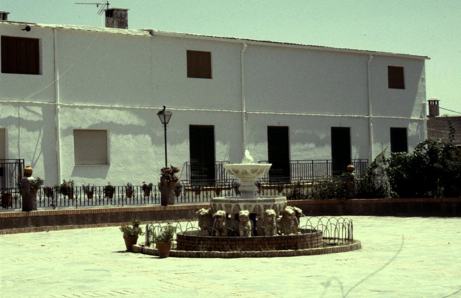 File:Espagne Les Alpujarras Yegen - panoramio.jpg
Photo: rene boulay via Wikimedia Commons, CC BY-SA 3.0
File:Espagne Les Alpujarras Yegen - panoramio.jpg
Photo: rene boulay via Wikimedia Commons, CC BY-SA 3.0
Culture and Townscape
The English writer Gerald Brenan lived in Yegen for seven years and wrote the work “Al Sur de Granada”. Traditional Alpujarran houses with two or three storeys, flat launa roofs, roof terraces and tinaos shape the townscape of Yegen. The Iglesia del Dulce Nombre del Niño Jesús in Yegen has an elaborately crafted Mudejar wooden ceiling. Despite several renovations, it preserves an interesting Mudejar timber structure with corbels of varying designs.
The Peñón del Fuerte is an 11th-century fortress in which the last Moriscos of Yegen sought refuge. The Museo Fotográfico de Van Hannsen in Yegen contains numerous photographs showing exclusively the village and its inhabitants, documenting Yegen’s history from 1959 to 1989.
Nature
Yegen has preserved its traditional acequia irrigation system for almost 800 years. The paths around Yegen lead through densely vegetated areas with wild fruits and centuries-old chestnut trees; numerous bird species live there.
Hiking Trails
The Sendero Gerald Brenan begins at the writer’s former house, passes through Yegen and ends at the Fuente Camellona; from there, the same trail leads down to the Peñón del Fuerte. The Sendero de las Acequias begins in the upper part of Yegen, in the Plaza Vieja quarter, passes the Balsa del Castillo basin and continues towards Castañías.
The Sendero Las Encinas connects Mecina-Bombarón and Yegen along a five-kilometre route through the Sierra landscape. Ruta G is a circular route whose start and finish are in Yegen and which reaches the boundary of Sierra Nevada National Park. The municipality’s trail network is signposted and considered easy to follow.
For your own planning, the routes described can be distinguished by their form and their relationship to the landscape. One route connects two places, another is designed as a circular route; other sections lead through Yegen or along the acequias. This keeps the starting point, destination and direction of each description clearly separate. The information about five kilometres, the Sierra and the national park boundary also provides different reference points for comparison, without equating the routes.
A five-kilometre connection, a circular trail and routes through the village or the Sierra can be compared by route type and relationship to the landscape. When comparing a holiday apartment in Yegen, check the travel dates, room category and cancellation conditions on the respective offer page. The fields concern different aspects of the offer: the period, the arrangement of the rooms and the conditions for changing or cancelling.
Geographical Location
The road route to Yegen passes through Laroles, Mairena, Mecina Alfahar and Válor.
For the higher-level travel overview: Alpujarra De La Sierra.

