
Iteşti between the Siret, Bistrița and Lilieci Lake
Accommodation in Iteşti
Iteşti combines an archaeological trace of the Late Bronze Age with a village history documented over centuries and a landscape between the Siret and Bistrița. Iteşti is home to the archaeological site “Aşezarea de epoca bronzului de la Iteşti – Parcela I şi Parcela II”. It is a Late Bronze Age settlement belonging to the Noua culture. Iteşti has been documented in written records since 19 April 1599.
Culture and history
In the centre of Iteşti stands the monument “Monument al eroilor căzuţi în Primul Război Mondial” in the form of a statue. It depicts an attacking Romanian soldier holding a weapon. The capital bears the inscription “PE AICEA NU SE TRECE. MĂRĂȘEȘTI”. The monument’s full name refers to the heroes who fell in the First World War, while the figure and the inscription form two independent elements of the structure. In this way, the monument combines its location in the village centre with a figurative representation and text explicitly affixed to the structure.
The parish church of Iteşti is dedicated to the “Sf. Voievozi Mihail și Gavriil”; its documented history begins in 1837. Vasile Popescu, a son of the village, painted the church. Thus, the church preserves both its dedication and the name of a painter from Iteşti, while the year 1837 marks the early documented point in its history.
The archbishopric also lists the Schitul Sfinții Părinți Ioachim și Ana in Iteşti as a monastic skete. The name Iteşti derives from the boyar Iteșteanu. Together, these details add a religious institution and the traditional explanation of the name to the history of the village.
Landscape and water
The commune of Iteşti lies between the Siret and Bistrița rivers. Its distinctive landforms include the Bistrița floodplain and its terraces. The terrain has only slight gradients and includes both plains and hilly areas.
Arable land and fruit-tree plantations shape the landscape. The commune also includes the locality of Iteşti, which forms part of the 262-hectare Lacul Lilieci special protection area for birds. The Lac Lilieci special protection area comprises the water surface of the Lilieci Reservoir on the Şiret River and extends across the communes of Bereşti-Bistriţa and Hemeiuşi. The protected-area name therefore refers both to the inclusion of the locality of Iteşti and to a larger geographical context extending beyond the commune boundaries.
Transport and location
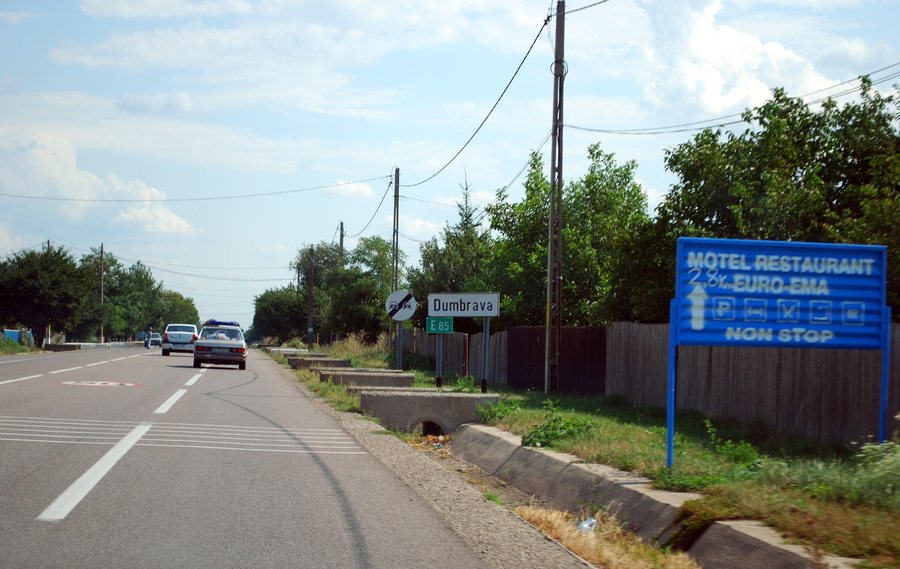
The commune of Iteşti’s main road connection runs east via DN2. There is no exit to the west because of the reservoir area of the Bistrița River. The Bacău–Roman railway line and the DN2 national road (E85) also run through the eastern part.
There is a CFR railway station there. Stops are also part of the road transport network in this eastern part of the commune. Thus, all the road, railway and stop information mentioned is located in the eastern part of the commune, while the reservoir area limits the western exit.
For the higher-level travel overview: Itesti.

