
Meszna Opacka: Ridge and Routes
Accommodation in Meszna Opacka
Meszna Opacka lies in the Rożnów Foothills and is crossed by two named routes: the Szlak Papieski and cycling route No. 1, “Legionists”. There is also a hiking trail from Tuchów to Łowczów that passes through the village and by a chapel. This makes it easy to plan your stay around specific routes and the area’s geographical setting. If you’re looking for a holiday rental in Meszna Opacka, you can first consider whether you’d like to focus your trip on hiking, cycling or exploring the ridge.
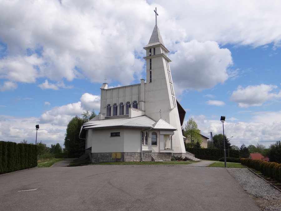
On the spur of Wał
The village lies on a spur of Wał, a ridge that is sometimes called Garb Meszniański. Meszna Opacka is located at an elevation of about 526 m above sea level. This gives the destination a clear geographical setting: it is in the Rożnów Foothills and at the same time on the named ridge.
The road from Tuchów to Rychwałd also runs along Garb Meszniański, where Meszna Opacka is located. The two place names and the ridge thus provide a specific reference point for the destination’s location. The elevation of about 526 m refers to Meszna Opacka; it does not describe the length or duration of a hike.
Hiking trail and cycling route
The Szlak Papieski passes through Meszna Opacka. In the vicinity of the destination, it ends at Military Cemetery No. 158 from the First World War, below Księży Las. This named endpoint gives the route a historical connection: the cemetery is specifically associated with the First World War. If you’re interested in the Szlak Papieski, you’ll find both its route through the village and a specific destination nearby.
Another route that passes through Meszna Opacka is cycling route No. 1, “Legionists”. Its name identifies it as a cycling route; no length or duration is specified here. Together with the Szlak Papieski, it offers a different focus for planning your holiday. When choosing your destination, you can therefore weigh up whether you’re more interested in a cycling route or the course of the Szlak Papieski, without conflating the two routes.
From Tuchów to Łowczów via Meszna Opacka
The hiking trail from Tuchów to Łowczów passes through Meszna Opacka and by the chapel of Blessed Karolina Kózkówna in the village. The entire route is listed as 11.36 km long, with a duration of 3 hours and 32 minutes. These figures make the route easy to factor into your day’s plans: you can treat the full distance as a hike in its own right, rather than considering only the section in Meszna Opacka. The chapel is a named point along the trail.
The different routes offer different highlights: the trail from Tuchów to Łowczów is described with a specific length and duration, while cycling route No. 1, “Legionists”, passes through the village as a cycling route. The Szlak Papieski also passes through Meszna Opacka and ends nearby at the military cemetery. When choosing your accommodation, this difference can help you organise your travel plans: if you’d like to follow the designated hike, a specific distance is available; if you’re mainly interested in cycling or the Szlak Papieski, their named routes offer relevant points of reference when choosing where to stay.
Discover more places
Find more pages about localities here: Komorów, Wola Rzędzińska, Janowice, Wał-Ruda, Zabawa, Rychwald, Zbylitowska Góra and Zgłobice.
For the broader travel overview: Tarnów.

