
Rammersmatt: Holiday Apartments and Holiday Homes
Accommodation in Rammersmatt
Rammersmatt lies at the first foothills of the Vosges massif between the valleys of the Doller and the Thur and overlooks the Alsatian plain. From Rammersmatt, you can see across the Alsatian plain and the Black Forest, and at certain times as far as the Alps.
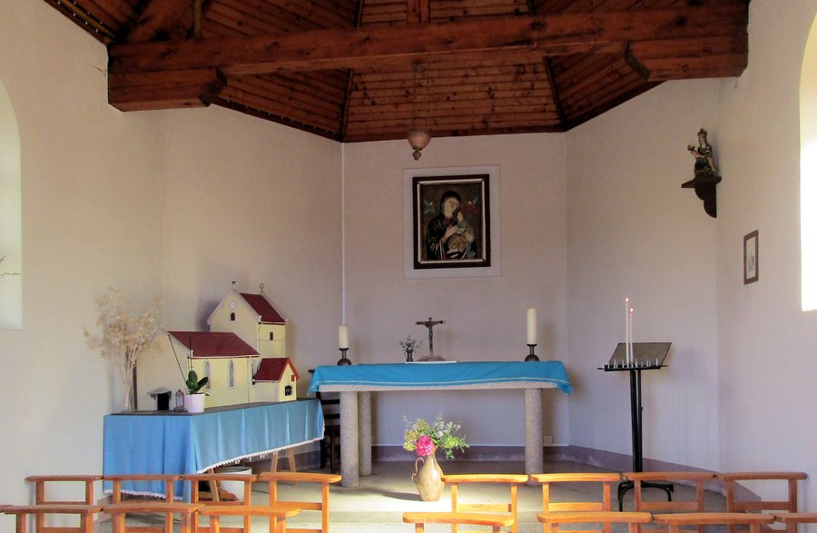 File:Rammersmatt, Chapelle Notre-Dame-du-Bon-Secours à lintérieur.jpg
Photo: Rauenstein via Wikimedia Commons, CC BY-SA 3.0
File:Rammersmatt, Chapelle Notre-Dame-du-Bon-Secours à lintérieur.jpg
Photo: Rauenstein via Wikimedia Commons, CC BY-SA 3.0
Renting a holiday apartment in Rammersmatt can be one element of planning an individual stay.
Landscape
At 880 metres, the Kuppelthannkopf is the highest point in Rammersmatt. The municipal area covers 546 hectares of hilly and steep terrain. The Kaschelbach, also known as the Kaltenbach, is a tributary of the Bourbach.
Culture and History
The Church of Saint John Gualbert has been mentioned since 1256. It has preserved its medieval ground plan and parts from that period, including a choir tower. The bell tower of Rammersmatt dates from the 13th century and overlooks the Alsatian plain.
The pilgrimage chapel of Notre-Dame du Bon Secours was built in 1856. After its destruction during the Second World War, it was rebuilt for the third time after the liberation. To this day, it remains an important stop for people travelling through the mountains who wish to pray or pause there.
Paths and Nature
The landscape around Rammersmatt can be explored by bicycle and on footpaths. The easy walk described as a botanical trail near Rammersmatt is 3.6 kilometres long and takes about two hours. It features botanical information boards and a picnic area at the car park.
The “Marche santé Rammersmatt” hiking trail is accessible with an all-terrain wheelchair.
To the higher-level travel overview: Haut-Rhin.
Other Destinations
Other places within the same destination:

