
Reinhardsmunster: Holiday apartments and holiday homes
Accommodation in Reinhardsmunster
Several circular routes with notable stops begin in Reinhardsmunster. The circular route La porte du Valhalla starts at Reinhardsmunster church, is 7.5 kilometres long, has 350 metres of elevation gain and is rated easy. The Tour du Geissfels passes the Spill rock spire, continues to the summit of Geissfels and to the Geissfelswasen shelter. The circular route Wuestemberg-Ochsenstein begins in Reinhardsmunster and reaches the ruins of the Ochsenstein castles via the Krappenfels Pass. The Traversée du Tannenwald starts at the church car park. The circular route Lieux légendaires leads to the Spill rock spire, the Geisfels rock, the Table des Géants and the Sattelfels menhir.
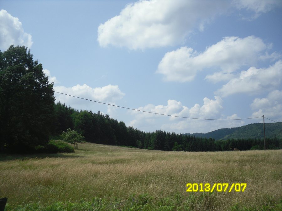 File:67440 Reinhardsmunster, France - panoramio.jpg
Photo: Bart Van Der Schuere… via Wikimedia Commons, CC BY 3.0
File:67440 Reinhardsmunster, France - panoramio.jpg
Photo: Bart Van Der Schuere… via Wikimedia Commons, CC BY 3.0
Long-distance routes also pass through Reinhardsmunster: the Boucle des châteaux de Saverne route runs through the municipality, as does the GR®53 long-distance hiking trail, which crosses the Vosges massif.
Culture and history
The Château d'Ochsenstein is a castle ruin and was the fief of the medieval House of Ochsenstein, an influential family from Alsace. It was probably built towards the end of the 12th century. Grand Ochsenstein is the largest and the only accessible of the three Ochsenstein castles.
Outside the village stands the Saint-Léger Chapel within the enclosed grounds of the cemetery. It is located on the site of the former church of Dillersmunster. The cemetery chapel incorporates a moulded entrance portal possibly dating from the early 17th century and a Romanesque relief, both taken from the former place of worship.
The Sattelfels is a 2.5-metre-high menhir whose upper part is shaped like a saddle. It has served as a boundary marker since at least 1747. The veneration of Saint Léger developed into a particularly strong local tradition in Reinhardsmunster, triggering a pilgrimage that has continued to the present day.
Landscape and nature
The Table des Géants is a dolmen of natural origin, measuring 3.5 metres long, 2.5 metres wide and 1.8 metres high. The Geisfels is a rocky summit with a steep drop of around 40 metres. A few metres below the summit is a small, difficult-to-access cave; cup marks in front of its entrance are associated with a former place of worship.
The Rocher des Pandours offers a view over the Marmoutier plain. The Rocher de la Spille is a 9-metre-high rock near a paragliding launch site. The Billebaum, also called Bilderbaum, is a remarkable beech tree with a circumference of 615 centimetres and an estimated age of around 350 years. The Rocher du Hibou was named for its shape, which resembles a nocturnal bird of prey.
Reinhardsmunster lies within the type II ZNIEFF “Collines du Piémont vosgien avec grands ensembles de vergers, de Saverne à Mutzig”.
Those who choose Reinhardsmunster as a holiday destination may wish to rent a holiday apartment.
Other places: Roppenheim, Obersteinbach, Gundershoffen, Saulxures, Geispolsheim, Rangen, Hindisheim, Ingwiller
To the overarching travel overview: Bas-Rhin.

