
Struhadlo: Holiday apartments and holiday homes
Accommodation in Struhadlo
The “Spiessova naučná stezka” educational trail runs through Struhadlo along marked hiking paths. It is approximately 16 km long and has six stations; the third station is titled “Struhadlo / Patersdorf”. On the way to Struhadlo along the educational trail, there is an uncovered rest area.
Paths and landscape
The Struhadelský kříž offers views in all directions, and photography is possible there. One route leads from Struhadlo to the Struhadelský kříž at an elevation of 692 metres above sea level. From Struhadlo, there are also views of Klatovy, Bezděkov and Šumava.
The 16 km route “Bezděkovské kolečko – ke struhadelskému kříži” is recommended for hikers as well as cyclists on mountain bikes or trekking bikes. It approaches Struhadlo from Soustov via a signposted minor road and crosses the busy I/22 road between Klatovy and Domažlice.
Struhadlo lies at approximately 608 metres above sea level below the ridge whose summit is Velký Bítov. In the surrounding area, the Tupadelské skály are designated as a state-protected natural monument. They form a rocky belt approximately 230 metres long, usually around 10 metres high and up to 15 metres high at Kočičí hlava. In the vicinity of Struhadlo, the Tupadelské skály are used by climbers.
Villagescape
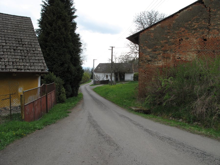
Most houses in Struhadlo are currently used for recreation. The village layout has changed little over the centuries; this is also shown by the map from the first military survey of the lands from the second half of the 18th century.
History
There used to be a bell tower in Struhadlo’s village square. House No. 20 formerly housed an inn. In the 19th century, a general school for local children stood on the road from Struhadlo to Tetětice.
The “Struhadelský kříž” was consecrated in October 2009.
To the higher-level travel overview: Bezděkov U Klatov.

,_cesta_II.jpg)