
Trubská: Apartments and Holiday Homes
Accommodation in Trubská
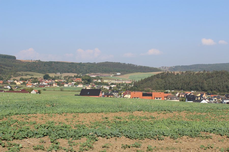
Trubská is located on the southwestern edge of the Křivoklátsko Protected Landscape Area. The surroundings consist predominantly of municipal forests, meadows and pastures. Near Trubská are Dubová Forest and the Hořecká Gorge, where a trilobite fossil site can be found. The local “Dibeř” biocentre covers 3.0 ha of meadows in the floodplain of the Dibří Stream.
A distinctive individual feature in Trubská is a pedunculate oak with a trunk circumference of 415 cm measured at breast height.
Getting Around
Trubská can be reached via a single access road branching off the Králův Dvůr–Hudlice road.
Hiking
The Trubská Questing Trail begins at a turning area at the end of the village next to an information board; visitors can collect game cards there. The hiking route is 3.7 km long and includes 106 m of ascent and 110 m of descent. Designed as a hiking route for families with small children, it leads through the forests of Trubská and over Dubový kopec.
Water and Cycling
The Dibeřský Stream flows below Trubská. A fire-fighting water reservoir lies on the stream and is used for swimming in summer. Cycling is possible on marked roads and trails in the area around Trubská.
More local pages: Mořina, Březová U Hořovic, Jivina, Újezd, Hvozdec, Hostomice Pod Brdy, Lážovice, Skuhrov.
To the higher-level travel overview: Beroun District.

