
Holiday apartment in Camino
Accommodation in Camino
Camino is a small community in El Dorado County in California and has the character of a Sierra Nevada foothills community. In autumn, the area around Camino is known for apple picking. Camino also lies on U.S. Highway 50 about halfway between Sacramento and South Lake Tahoe. This makes the town a reference point for a regional road trip.
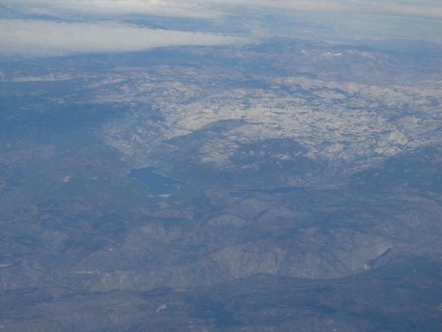 Foothills of the Sierra Nevada Mountains, California.
Photo: Ken Lund from Reno, Nevada, USA via Wikimedia Commons, CC BY-SA 2.0
Foothills of the Sierra Nevada Mountains, California.
Photo: Ken Lund from Reno, Nevada, USA via Wikimedia Commons, CC BY-SA 2.0
Quick facts about Camino
- Location: small community in El Dorado County, California
- Landscape: Sierra Nevada foothills
- Seasonal reference: The area around Camino is known for apple picking in autumn.
- Elevation: around 955 meters; the town description also mentions snowfall several times a year.
- Transport location: on U.S. Highway 50, about halfway between Sacramento and South Lake Tahoe
Camino between the foothills and orchards
Camino stands for the foothill area and for experiences in the surrounding area. In autumn, the area around Camino is known for apple picking. In visitor contexts, Camino is often associated with the broader Apple Hill area; however, Apple Hill refers to the larger regional area and not a collection of attractions located entirely within the community. You should always check which offers suit your travel dates up to date.
Wine and landscape as a day trip element
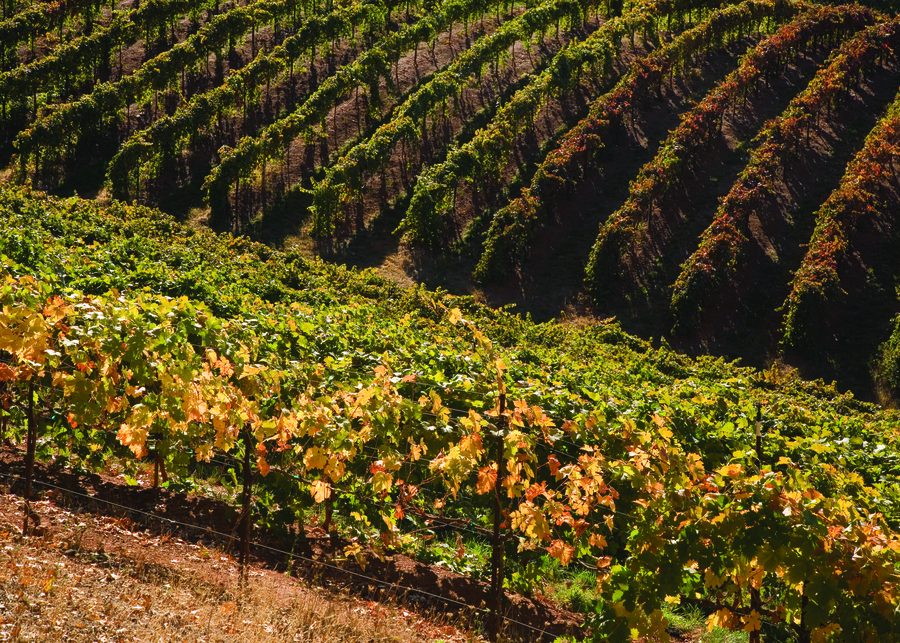
Madroña Vineyards in Camino describes its wines as grown in the mountains of the El Dorado growing region and mentions seating and picnic areas. This makes it possible to combine a visit with wine, landscape, and time outdoors. You should check the current visiting options directly with the winery; the details of this single business do not allow any general conclusion about offers for all of Camino.
Which base suits your travel plan?
Camino suits travel planning in which the area’s autumn association with apple picking plays a role. At the same time, you should classify the town as a small foothill community and choose your accommodation so that it fits the specific destinations planned for your route.
For a regional road trip, the location on U.S. Highway 50 provides a broad point of orientation. According to the town description, Camino lies about halfway between Sacramento and South Lake Tahoe. Exact driving times, distances, and accessibility to individual destinations depend on your specific route and current conditions.
Season and elevation
Camino lies at around 955 meters; the town description also mentions snowfall several times a year. This is not a forecast for your travel dates. If you want to travel in autumn because of apple picking or are planning another season, you should check the specific offers and conditions for your dates separately.
Further regional orientation is provided by El Dorado.

.jpg)
(NRCS_Photo_Gallery).jpg)