
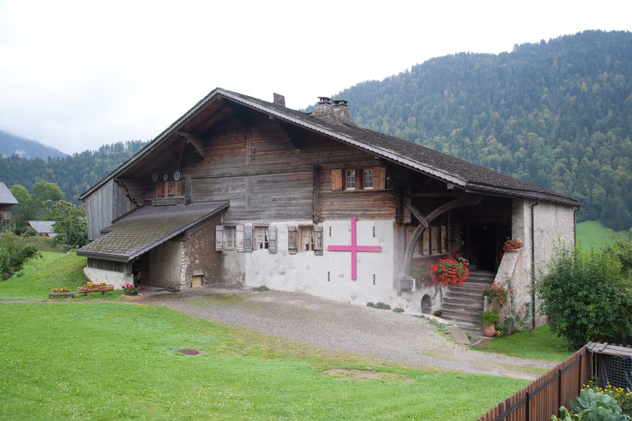
Landscape
The area surrounding Rossinière includes Rochers de St. Jacques, Corne du Soere, Château Chamois and Gummfluh.
The municipality of Rossinière covers 23.36 km². In the land-use survey for the period 2013–2018, 50.3 % of the area was forested and 37.5 % was used for agriculture.
The surroundings of Rossinière are described as a pre-Alpine landscape with alpine meadows, dense forests and mountain formations. The Sarine and the Hongrin Valley shape the wider local topography.
Geographical Location
Rossinière is a Swiss municipality in the canton of Vaud and in the Riviera-Pays-d'Enhaut district.
Getting There
Rossinière has a railway station on the Montreux–Bernese Oberland Railway (MOB).
Exploring the Mountains
The mountain trails around Rossinière include routes described as moderate and difficult; the terrain is associated with alpine meadows, forests and mountain formations. Anyone looking for mountain tours described as moderate or difficult will find this a useful specific reference for planning their trip.

