
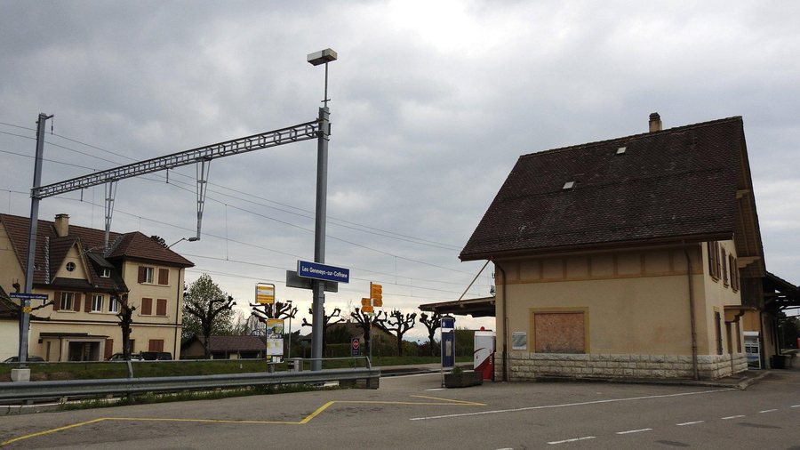
You can rent a holiday apartment in Les Geneveys-sur-Coffrane.
Nature
The village lies in the southwest of the Val-de-Ruz basin in the Neuchâtel Jura, at the eastern foot of Mont Racine, at an altitude of 862 metres.
Geographical Classification
Les Geneveys-sur-Coffrane is a locality in the Val-de-Ruz region of the canton of Neuchâtel.
The recorded land cover of the locality comprises 52.4 % agricultural land and 39.5 % forested areas.
Several isolated farmsteads assigned to Les Geneveys-sur-Coffrane are located on the Jura heights.
History
Under the Ancien Régime, the village initially belonged to the lordship of Valangin and later to the corresponding mayoralty; from 1486 to 1827, it formed a municipality together with Coffrane and Montmollin.
Other locality pages for comparison: Dombresson, Le Pâquier, Fontaines, Savagnier, Boudevilliers, Montmollin, Villiers Ne, Cernier

