
Beurnevésin: Holiday Apartments and Holiday Homes
Accommodation in Beurnevésin
Beurnevésin lies at an altitude of 422 metres above sea level, approximately 10 kilometres north-northeast of Porrentruy, and stretches across the valley floor of the Vendline stream in the north of Ajoie.
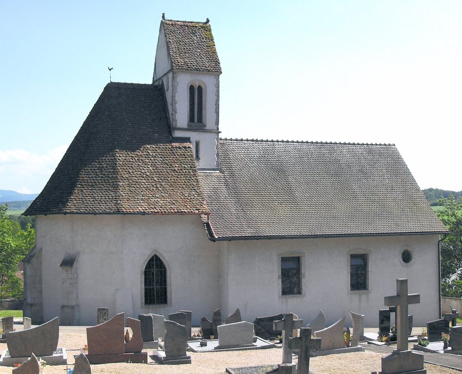
Beurnevésin is situated in the rolling tableland Jura landscape of Ajoie, which is traversed by the Vendline valley.
When planning a trip, you may wish to focus on renting a holiday apartment in Beurnevésin.
Landscape
The wooded heights of Les Toyers and Le Mont lie to the north of Beurnevésin.
Le Mont reaches 530 metres, making it the highest elevation in the municipality.
The national border between Switzerland and France runs over the heights of Les Toyers and Le Mont.
In the wider regional surroundings of Beurnevésin is Mont Terri, a mountain.
Les Ordons, a hill, is located in the surroundings of Beurnevésin.
In the wider regional surroundings of Beurnevésin is La Côte, a mountain.
Etang des Coeudres, which is considered an aquarium, is located in the immediate surroundings of Beurnevésin.
Culture
The ruins of Château du Liebenstein are located in the surroundings of Beurnevésin.
The ruins of Château de Morimont are located in the surroundings of Beurnevésin.
Lützel Abbey is located in the surroundings of Beurnevésin.
The historical site of Lützel (Abbey: Lützel, Switzerland) is located in the surroundings of Beurnevésin.
The Church of Saint-Jacques stands in Beurnevésin and is also known in German as St. Jakob Church.
For the higher-level travel overview: Porrentruy.
More destinations
More places within the same destination:

