
Pany: Holiday apartments and holiday homes
Accommodation in Pany
Nollenchöpf is located in the nearby area of Pany. You can rent a holiday apartment in Pany.
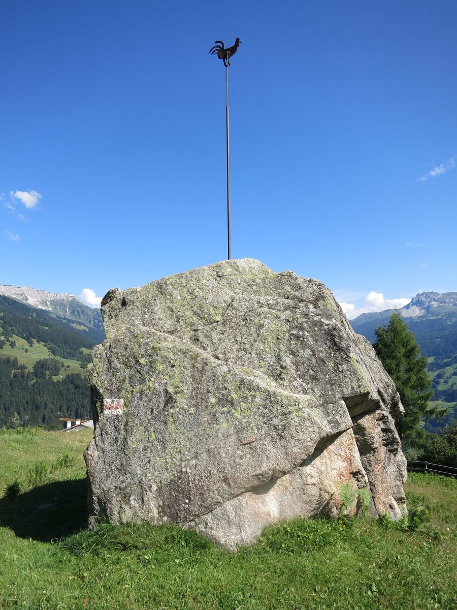
Nature
Hasenflüeli, Marchspitze and Höchsattel are located in the surrounding area of Pany. The three landscape features complement the scenery around the village.
Surroundings
The Chur Animal and Leisure Park is located in the wider regional surroundings of Pany. Rosenegg and Nägelehötta are also located in the wider regional surroundings.
Geographical classification
Pany is a village in central Prättigau in the Swiss canton of Graubünden and has belonged to the municipality of Luzein since 1892. The village is a loosely scattered settlement on a slope along the road from Küblis to St. Antönien in Prättigau. The village is described as lying at an elevation ranging from 859 to 2,194 metres above sea level.
Culture and history
Pany was first mentioned in 1411 under the name Pynnuew. The field names are predominantly Romansh and preserve traces of the later language change to German following the immigration of the Walser people.
Finds dating from the 13th to the 15th century have been discovered at a castle site near the hamlet of Rosenberg. Pany's own church was built in 1705.
Village life
Pany is primarily characterised by agriculture; tourism developed in the 20th century.
For further orientation, you can also visit the village pages for Furna, Fideris, Arosa, Conters Im Prättigau, Klosters Platz, Valzeina, Küblis and Clavadel.
To the higher-level travel overview: Prättigau-Davos.

