
Paspels: Holiday Apartments and Holiday Homes
Accommodation in Paspels
Geographical Location
The former municipal area of Paspels was located on a terrace above the right bank of the Hinterrhein on the western slope of the Stätzerhorn.
When planning a trip, the wish to rent a holiday apartment in Paspels may be the main focus.
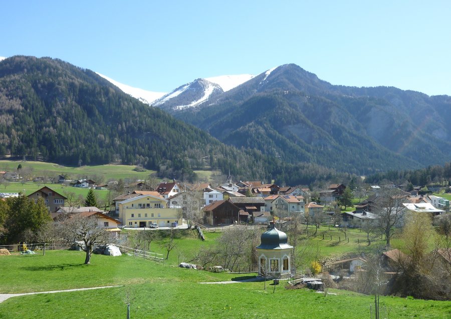
Nature and Landscape
The peaks of Mutta, Lägerbiel, Schafkopf and Glaser Grat are located in the surroundings of Paspels.
Of the former municipal area of Paspels, 259 hectares out of a total of 457 hectares consisted of forests and wooded areas. 152 hectares were usable for agriculture, 28 hectares were settlement areas and 18 hectares were unproductive areas, mostly mountainous terrain.
Agriculture
Livestock farming and arable farming are predominantly practised in Paspels, along with some fruit growing and viticulture.
Culture and History
Paspels Castle and Rietberg Castle are located in the immediate surroundings of Paspels.
Archaeological finds from the Neolithic and Roman periods prove that the area around Paspels was already inhabited during these periods.
Paspels was first mentioned in a document in 1237 as “villa Pascuals”, in a copy. At that time, Alt-Süns Castle was the centre of the extensive holdings of the Barons of Vaz in Domleschg.
Regional Surroundings
The wider regional surroundings of Paspels include Falkenstein Castle ruins and the Chur Animal and Leisure Park, a zoo.
To the higher-level travel overview: Hinterrhein.
Further Destinations
Other places under the same destination:

