
Ausserferrera: Vacation Apartments and Holiday Homes
Accommodation in Ausserferrera
Schwarzwaldchopf, Piz la Tschera, Nesslabüel and Hüreli are located in the immediate surroundings of Ausserferrera. These specific landscape features are particularly interesting when mountains and nature are the focus of the trip.
Culture
Rietberg Castle and Paspels Castle are located in the wider regional surroundings of Ausserferrera.
Geographical Location
Ausserferrera is a village in the municipality of Ferrera in the Swiss canton of Graubünden and was an independent municipality until the end of 2007.
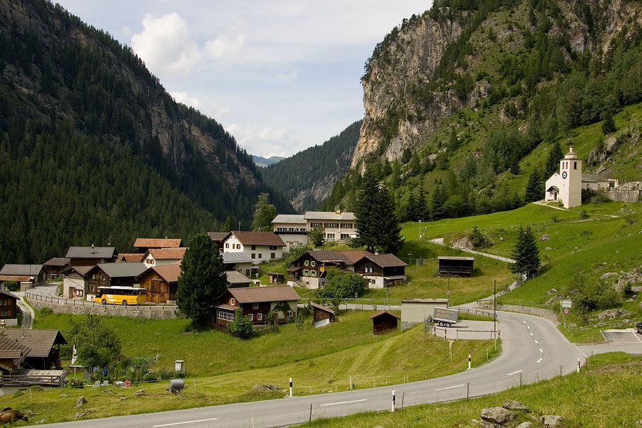
Ausserferrera is located on the Averser Rhine in Val Ferrera.
The village consists predominantly of old wooden houses. The settlement of Cresta lies on a terrace 350 metres above the village and is inhabited only in summer.
The village extends on one side of the valley towards the 2,855-metre-high Hüreli and on the other towards the 3,060-metre-high Piz Grisch.
The surrounding area comprises 20 percent forest and 29 percent agricultural land; 50 percent is classified as unproductive terrain.
Ausserferrera lies at 1,316 metres above sea level; the elevation range extends from 1,205 to 3,056 metres.
The rock faces near Ausserferrera consist of Penninic rocks of the Suretta nappe, particularly Rofna gneiss.
If you would like to rent a vacation apartment in Ausserferrera, you can access further village pages directly from here: Tartar, Hinterrhein, Trans, Scharans, Almens, Flerden, Rothenbrunnen, Donath.
To the overarching travel overview: Hinterrhein.

