
Wangenried: Holiday Apartments and Holiday Homes
Accommodation in Wangenried
Bipp is located in the vicinity of Wangenried. You can rent a holiday apartment in Wangenried. The Solothurn aviary is also located in the vicinity of Wangenried.
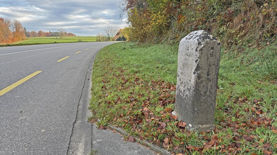 File:Distanzstein «IX Stunden von Bern» bei Wangenried (01).jpg
Photo: Clwacker via Wikimedia Commons, CC BY-SA 4.0
File:Distanzstein «IX Stunden von Bern» bei Wangenried (01).jpg
Photo: Clwacker via Wikimedia Commons, CC BY-SA 4.0
Surroundings
Ruchen is located in the wider regional surroundings of Wangenried. The Olten monastery and Hornbachegg are also located in the wider regional surroundings.
Geographical location
Wangenried is a locality within the political municipality of Wangen an der Aare in the Swiss canton of Bern and was incorporated into this municipality on 1 January 2024. The village is located at an elevation of approximately 473 metres above sea level, 2 km south of Wangen an der Aare and 9 km east of Solothurn as the crow flies.
Landscape
The settlement stretches along a north-west-facing slope on the southern edge of the Aare lowlands in the Oberaargau region.
Wangenried lies in a gently undulating section of the northern Bernese Mittelland, which was largely shaped by a glacial terminal moraine of the Rhône Glacier. The highest point in the village is Rüti, at 495 metres above sea level.
Further local pages can be found for Niederbipp, Oberbipp, Seeberg, Wiedlisbach, Wangen an der Aare, Attiswil and Wolfisberg.
To the overview of the wider destination: Wangen.

.jpg)