
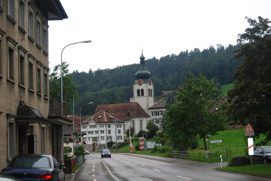
You can rent a holiday apartment in Bühler.
Hiking
The «Rond om Bühler» trail is approximately 8.8 kilometres long and involves around 3 hours and 15 minutes of walking; it is also connected to other routes in the cantonal trail network.
Nature
Bogartenfirst and Kreuzberg No. 4 are located in the surroundings of Bühler.
The themed hiking trail leads from Bühler railway station via Steig and Weissegg to Hohe Buche, then descends towards Weissbach and returns via Kriegersmühle and Steinleuten towards the railway station. This makes the trail suitable for a stay with an interest in a specific hike in Bühler.
In good visibility, Hohe Buche offers far-reaching views across the Fürstenland and Lake Constance towards the Allgäu, the Vorarlberg Alps and the snow-covered peaks of Central Switzerland.
Culture and History
The old mule track at Hohe Buche is said to have led from St. Gallen via the Appenzell heights into the St. Gallen Rhine Valley and onwards to Chur; Paracelsus is also said to have used this route.
For further options, you can also view the locality pages for Trogen, Teufen, Speicher and Gais.

