
Pataš – Church, memorial sites and flat cycling routes in the south of Žitný ostrov
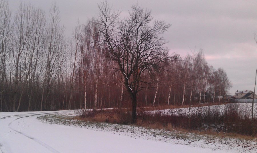
Pataš is located in the southern part of Žitný ostrov. The Reformed church stands in the southeastern part of the municipality. It was built in the Classicist style in 1794 and remodelled in the 1830s. The single-nave building has a tower with a domed roof; the church also features a brick pulpit dating from 1834. The sequence of the construction year, remodelling and dated pulpit can be read as a series of historical markers.
History
The municipality of Pataš was first mentioned in writing in 1270. The grave of the Honvéd Simon Péter is located in the old cemetery of Csilizpatas [Pataš]. Simon Péter was conscripted on 7 September 1848 at the age of 20. A local date and an individually named biography stand side by side here.
The memorial plaque commemorating the victims of the Second World War in Csilizpatas [Pataš] is located on the wall of the mortuary in the municipal cemetery. It commemorates 29 local residents who fell in the Second World War. Wreath-laying ceremonies are held at the memorial plaque every year.
Culture
The “Csilizpatas millecentenáriumi kopjafa” in Csilizpatas [Pataš] was created by the Csilizpatas municipal administration in 1996 on the occasion of the 1,100th anniversary of the Hungarian conquest of the Carpathian Basin. It is located next to the cultural centre of Csilizpatas [Pataš].
For Csilizpatas [Pataš], the Hungarian New Year’s greeting song “Mivel új esztendőt kezdünk” is recorded as a tradition of singing New Year’s greetings, offering congratulations and collecting donations. In the past, this custom was widespread; in some places it is still practised today.
Cycling
The Vámosszabadi–Medveďov–Boheľov cycling route is 18.7 kilometres long, flat and signposted. It runs through Baloň and Čiližská Radvaň, continues through Pataš to Boheľov, and is suitable for all types of bicycles.
The Veľký Meder–Pataš–Warkun cycling route is 12 kilometres long, flat and signposted. It leads from Veľký Meder via dirt roads and along embankments past Pataš towards Vrakúň; it is suitable for mountain bikes.
The different route lengths and the specified bicycle types help you compare the two routes for your own planning. The route descriptions also provide specific itineraries and different landscape features.
The information on length, surface, signage and bicycle types can be considered separately. The longer route connects several named places and passes through Pataš, while the shorter route runs via dirt roads and along embankments. This keeps the route distance, itinerary and the explicitly stated bicycle use for each route distinguishable when planning your own route, without mixing the two descriptions.
When selecting a holiday apartment in Pataš, you can compare travel dates, room category and cancellation conditions on the respective offer pages. Check these three fields in the order that suits your travel organisation, and keep the cultural and cycling-related focuses of your planning separate from one another.
More local pages: Veľké Blahovo, Horné Mýto, Štvrtok Na Ostrove, Povoda, Dunajska Streda, Mad, Kvetoslavov, Trstená Na Ostrove
For the higher-level travel overview: Dunajská Streda District.
Check prices, availability and amenities for your travel dates directly on Booking.com.
View accommodations and offersAdvertisement · Affiliate link to Booking.com
.jpg)