
Discover Greifenhagen on the East Oder
Accommodation in Greifenhagen
Town history and culture in Greifenhagen
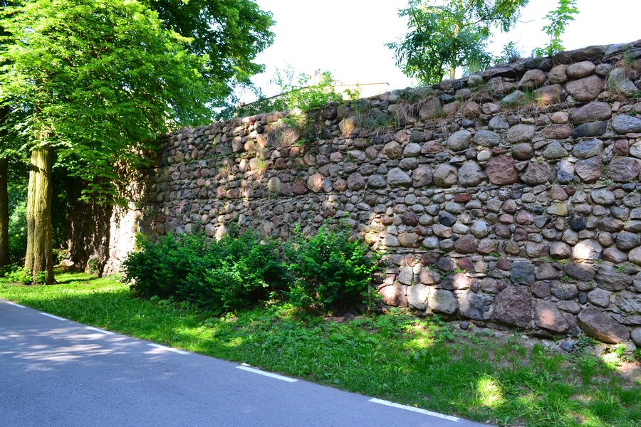
Greifenhagen (Gryfino) combines a clearly discernible historic town layout with cultural attractions and experiences on the East Oder. The town was founded in the 13th century, and its historic layout is still recognisable in the townscape today. If you are interested in town history, you will find a tangible starting point for your stay here, rather than planning a trip focused solely on activities on the water or by bike.
The Kino Gryf cinema is also part of the town’s distinctive cultural profile: it is one of the smallest cinemas in Poland and the only cinema in Gryfino County. Its programme includes film premieres and 3D screenings. This offers another possible focus for your stay alongside town history and outdoor activities. The Church of the Nativity of the Blessed Virgin Mary regularly hosts choir concerts and the Gryfińskie Organ Music Concerts. Film and music therefore offer additional options for different cultural interests.
The East Oder, the riverbank and water sports
Greifenhagen’s riverbank lies on the right bank of the East Oder and serves passenger ships and water tourism. It is connected to the Zachodniopomorski Szlak Żeglarski. This network links tourist ports and marinas in West Pomerania along the Oder, the Szczecin Lagoon and the Baltic coast with German waterways. If water sports and boating are your main considerations when choosing a holiday apartment, you can take this connection into account as part of the local character.
At Oderstrand beach on ul. Sportowa, you can rent water sports equipment. The options include single kayaks, tandem kayaks with space for a child, and SUP boards. This offers various ways to spend time on the water; the kayak options also differ in whether they are intended for one or two people. Important for planning your day: there is an unsupervised bathing area on the East Oder in Gryfino, but swimming is prohibited there. Water sports and swimming are therefore not the same thing.
Cycling routes and paths for different excursions
A cycle path runs along the entire riverside promenade. There is also a free public toilet there. Another cycle path leads from Jana Pawła II Street via Wełtyń to Gardno. These named routes offer practical starting points if you would like to explore Greifenhagen by bike; their destinations and courses differ, so you can choose a route based on the excursion you have in mind.
A section of the Blue Velo route also runs through Greifenhagen. The route is 257 kilometres long in total, with a section of around 46 kilometres here. It runs mainly along former railway embankments, as well as forest paths and public roads with light traffic. If you are planning a cycling holiday, you can consider this route alongside the other cycle paths as a separate way to enjoy your stay.
Getting here and choosing the right base for your holiday
From the bus station in Gryfino, PKS Szczecin operates services to Szczecin and to all the localities in Gryfino municipality. Greifenhagen can be reached from Szczecin via national road 31. Bus services and road connections offer different options for getting here and finding your way around. When looking for a holiday apartment, you can first consider whether the cultural attractions, cycling routes or experiences on the East Oder are most important to you during your stay. The activities described offer various reasons to discover Greifenhagen without requiring a shared excursion itinerary.
More town pages: Binowo, Steklno, Weltyn, Cedynia, Gryfino, Krzywin, Nowe Czarnowo, Chojna, Nawodna, Widuchowa, Stare Brynki, Moryń, Stare Czarnowo and Kolbatz.
See the main travel overview: West Pomerania.

