
Olpuch
Accommodation in Olpuch
Olpuch is a destination for travellers who want to include hiking in their holiday plans. Several hiking trails run through the village or start here; another leads to the outskirts. There is also the Harcerska Stanica Obozowa w Olpuchu, which offers survival-oriented scout camps and overnight stays in tents. This brings two distinct themes to the fore: hikes with different connections to the village and a group stay in tents. Which holiday apartment in Olpuch suits your plans depends on whether you mainly want to follow your own hiking plans or combine your trip with a scout camp.
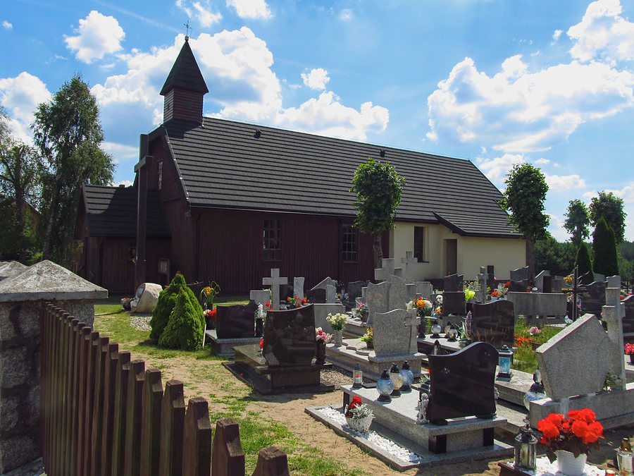 Kościół pw. Matki Boskiej Częstochowskiej w Olpuchu 01
Photo: Ryszard Wojdowski via Wikimedia Commons, CC BY-SA 4.0
Kościół pw. Matki Boskiej Częstochowskiej w Olpuchu 01
Photo: Ryszard Wojdowski via Wikimedia Commons, CC BY-SA 4.0
Distinguishing hiking trails by starting point, route and destination
The blue “Izydora Gulgowskiego” hiking trail is 2.9 km long and runs from Gołuń to the outskirts of Olpuch. The green “Kręgów Kamiennych” (Partyzancki) hiking trail and the red Kaszubski hiking trail run through Olpuch. The black Wdzydzki hiking trail starts in the village. The trails therefore differ mainly in how they relate to Olpuch: one route reaches the outskirts, two run through the village, and one starts here.
To make your choice, first decide which connection to the village you are looking for. If you want Olpuch to be your starting point, the black Wdzydzki trail is the relevant option. If you want a route that runs through the village, consider the green and red trails. The blue Izydora Gulgowskiego trail combines a specific distance with a route from Gołuń to the outskirts. This lets you classify a trail by its starting point, passage through the village or destination, rather than treating the different routes as interchangeable options.
If you are making a note of trails as part of your trip planning, their full names will help you tell them apart. The green “Kręgów Kamiennych” trail also includes the “Partyzancki” suffix in its name; the blue trail is called “Izydora Gulgowskiego”. You can also consider this trail’s 2.9 km length together with its route to the outskirts. This gives your route choice a specific connection to Olpuch and Gołuń.
Scout camps and overnight stays in tents
The Harcerska Stanica Obozowa w Olpuchu offers survival-oriented scout camps and overnight accommodation for around 250 people. Guests stay in Skaut and Alladyn tents, each designed for six to eight people. The camp’s approximate capacity and the number of people per tent are two different measures: together, they give an idea of the scale of the offer and the type of accommodation.
The camp is therefore a separate group option and differs from looking for a holiday apartment. If you are considering staying there, check current availability directly with the operator. For planning a group stay, the survival focus, approximate total capacity and tent sizes are useful details; ask separately about availability.
Choose accommodation to suit your travel plans
When looking for a holiday apartment in Olpuch, the hiking trails can provide a specific starting point for your plans. Do you want to start a route here, hike through the village or reach the outskirts? This question points you towards different routes. If your trip is instead linked to a scout camp, the tent accommodation and arrangements with the operator will be the main considerations.
Discover more destinations: Konarzyny, Dębogóry, Grzybowo, Piątkowo, Szenajda, Śluza, Stara Kiszewa, Kościerzyna.
Back to the main travel overview: Berent.

