
Discover Sokołda
Accommodation in Sokołda
Sokołda offers two concrete starting points for a trip: the kayaking route on the Sokołda and a precisely dated historical event. The route places the town within a longer course along the river; the events of July 1831 offer a different perspective on Sokołda. If you are considering staying in the town, you can begin by aligning your interests with these two distinct themes: a marked water route or the history of a particular evening and morning.
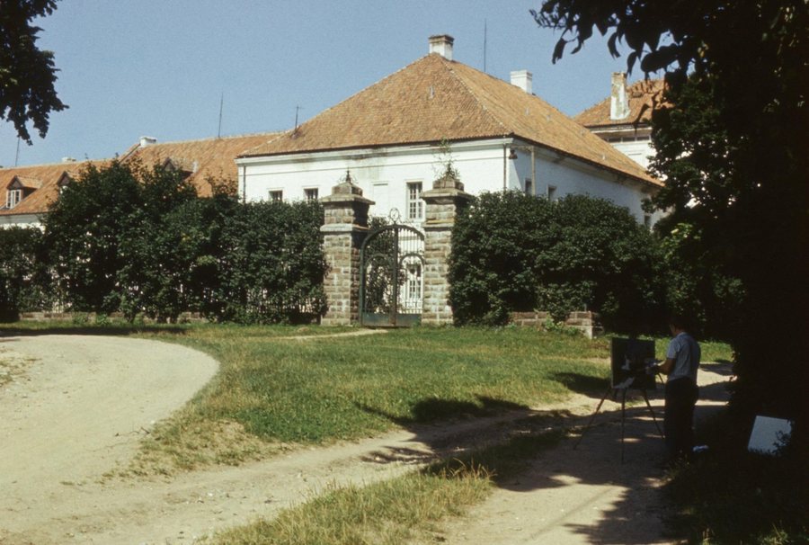 Brama kompleksu klasztornego - Sokołda - 000819s.jpg
Photo: Marek Gawęcki via Wikimedia Commons, CC BY-SA 3.0 pl
Brama kompleksu klasztornego - Sokołda - 000819s.jpg
Photo: Marek Gawęcki via Wikimedia Commons, CC BY-SA 3.0 pl
The kayaking route through Sokołda
The kayaking route on the Sokołda is 23.6 km long. In the order described, it starts in Straż at kilometre 23.6 and passes through Ostrówek (20.9 km), Dworzysk (16.0 km), Międzyrzecze (9.3 km), Kopna Góra (8.2 km), Sokołda (7.5 km), Podłaźnie (5.2 km) and Surażkowo (1.0 km), before reaching the Sokołda’s confluence with the Supraśl opposite the village of Zasady (0.0 km). The kilometre markers decrease along this sequence from the starting point to the confluence. Sokołda is at kilometre 7.5, between Kopna Góra and Podłaźnie, making it an intermediate point rather than the start or end point. These details help place the town within the full route.
The two length figures refer to different things: 23.6 km is the kayaking route, while 52 km is the length of the Sokołda River. The first figure therefore describes the route, and the second the river. If you include the kayaking route in your travel plans, check local conditions before setting out.
A historical connection from July 1831
On the evening of 6 July 1831, a Polish unit spent the night in Sokołda. Russian troops came from the direction of Białystok during the night and attacked at dawn. The sequence runs from the evening stay, through the night-time approach, to the attack at daybreak; the date and place name anchor the event in time and space. Alongside the kayaking route, Sokołda therefore offers a historical perspective shaped not by several route stops, but by a specific sequence of events. For trip planning, this is a different way to engage with the town than following the course of the river.
The Sokołda in its regional context
The Sokołda is a 52-kilometre-long right-bank tributary of the Supraśl. It rises from two headwaters in the Wzgórza Sokólskie area near the village of Trzcianka. The kayaking route follows the Sokołda and ends at its confluence with the Supraśl opposite Zasady. The river and the waterway at its confluence are therefore two distinct points of reference. Downstream from the town of Straż, the Sokołda flows through a continuous complex of coniferous forests in the Puszcza Knyszyńska. This landscape description refers to a further stretch of the river; the kayaking route places Sokołda itself at kilometre 7.5.
Discover more destinations
Discover more destinations: Zaścianki, Poświętne, Grzybowce, Zabłudów, Suraż, Białystok, Oliszki, Woronicze
Back to the main travel overview: Białostocki.

