
Nowa Morawa: Valley, Cultural History and Cross-Country Skiing
Accommodation in Nowa Morawa
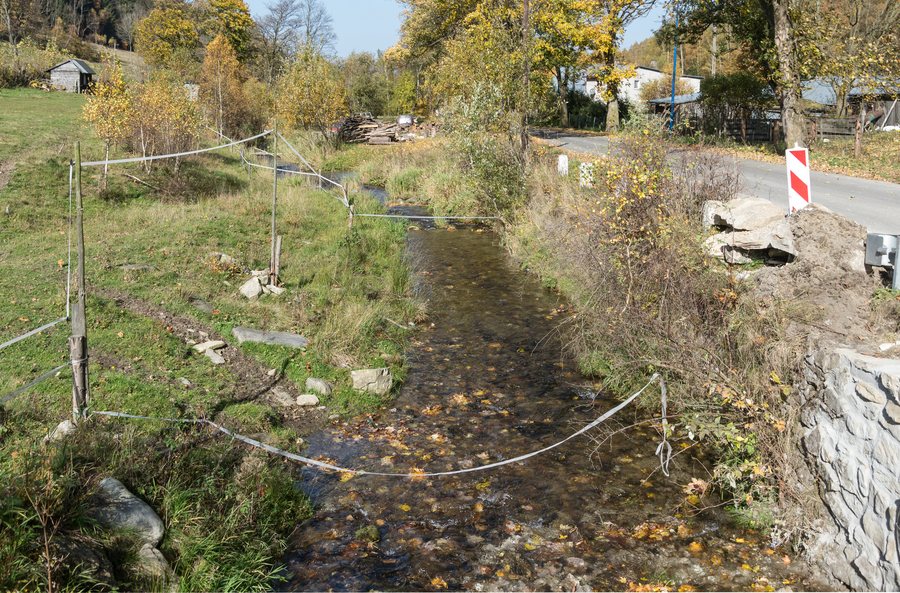
Nowa Morawa lies in a narrow, deep valley along the upper reaches of the Morawka. The landscape of the village sets the scene for a trip where the character of the valley, cultural history in the surrounding area and winter cross-country skiing can be clearly distinguished. When looking for a holiday apartment, it is therefore helpful to start by considering whether your trip will be shaped more by the landscape, historical sites or winter sports.
History and Art in the Surrounding Area
The Szwedzkie Szańce are scant remains of earthworks attributed to Swedish troops from the Thirty Years’ War. They lie on a range of hills west of Nowa Morawa, south of Przełęcz Staromorawskiej and above Droga Staromorawska. The combination of earthwork remains and their military attribution gives this historical site a tangible character.
Góra Oliwna offers a different focus: on a hill between Nowa Morawa and Kamienica is a group of 19th-century stone sculptures depicting sleeping apostles. Unlike the Szwedzkie Szańce, where the historical attribution is key, the emphasis here is on figures and religious imagery. This offers culture enthusiasts a clear comparison between traces in the landscape and figurative art.
Cross-Country Skiing: Loop and Section
The 22-kilometre cross-country route No. 10 starts in Nowa Morawa and runs via Droga Marianny, Przełęcz Sucha, Wielkie Rozdroże and the summit of Czernica before returning to Nowa Morawa. It is considered difficult and features steep ascents and descents. Snow conditions vary by season.
The 3.9-kilometre section from Nowa Morawa via Droga Marianny to Przełęcz Sucha is part of route No. 10. The section is marked with two difficulty ratings for the ascent and three for the descent. These are two different measures to bear in mind when planning: 22 kilometres refers to the entire loop, while 3.9 kilometres refers to one part of it. The two figures therefore do not describe independent routes. The 3.9-kilometre section is just under one fifth of the 22-kilometre loop; this ratio helps put the length of the section into perspective when planning.
A drag lift is located on the eastern slope of Stromy (808 m), the higher of the two elevations of Zawada. Alongside the cross-country route, the lift’s location on the eastern slope provides a second specific winter landmark.
A Landmark at the Edge of the Village
At the end of Nowa Morawa, beside the road towards the border crossing at Przełęcz Płoszczyna, there is a forest rest area with a covered shelter and barbecue area. Check the condition of the rest area before your visit.
Discover more destinations: Bielice, Szczytna, Konradów, Kąty Bystrzyckie, Nowa Ruda, Kletno, Stojków, Idzików.
See the broader travel overview: Kłodzki.

