
Białawoda on the slopes of Białowodzka Góra
Accommodation in Białawoda
Białawoda lies on the slopes of the 616-metre-high Białowodzka Góra. Its elevations include Zamczysko (608 metres) and Rozdziele (616 metres); Białowodzka Góra also forms the easternmost section of the Pasmo Łososińskie range. The village’s location therefore combines a distinct connection to the mountain with its place in a larger mountain range. If you are looking for a holiday destination with a pronounced mountain landscape, the slopes and ridges shape the character of your destination.
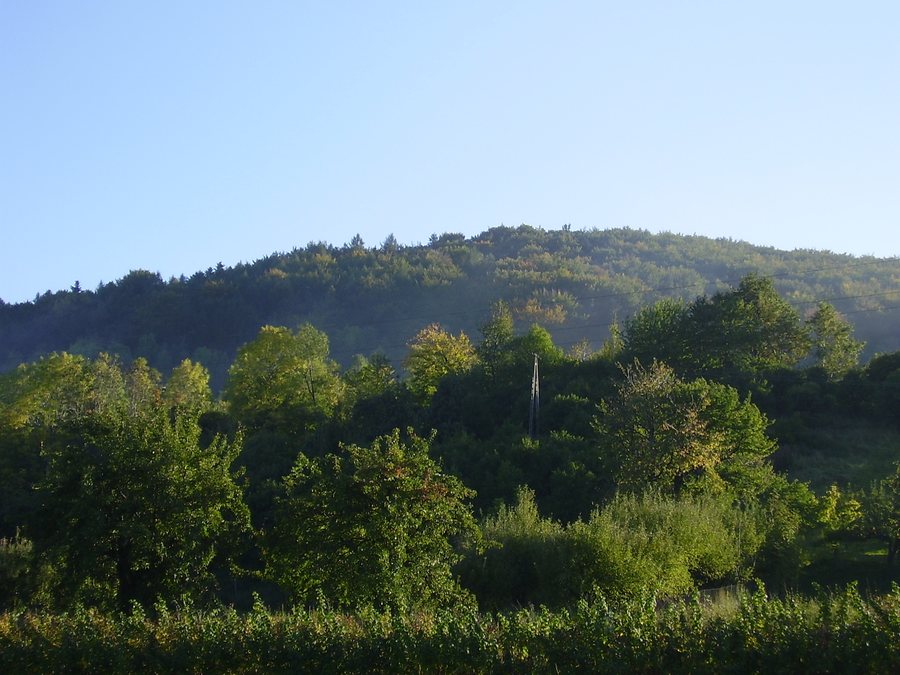 File:Białawoda (woj małopolskie)-las.jpg
Photo: Mf Greg at Polish Wikipedia via Wikimedia Commons, Public domain
File:Białawoda (woj małopolskie)-las.jpg
Photo: Mf Greg at Polish Wikipedia via Wikimedia Commons, Public domain
Nature and forest around Zamczysko
Nearby is the Białowodzka Góra nad Dunajcem nature reserve, which covers 67.74 hectares. On the eastern slope of Zamczysko, a nutrient-rich oak-hornbeam forest gradually gives way to a Carpathian beech forest. This is not an abrupt change, but a transition along the slope. Flowering ivy also grows high in the fir tree canopies there. Two distinctive features of nature meet here: the changing forest types and a plant that reaches up into the treetops. The nature reserve’s name and its forest and plant features offer different perspectives on the landscape around Białowodzka Góra.
Rampart, rock face and river views
The remains of a former defensive structure can be found on Zamczysko, on Białowodzka Góra. From the edge of the old rampart, there are views of a steep rock face, the Dunajec winding below, the surrounding mountains and the villages. Historical traces and the landscape stand side by side here: the remains point to the site’s former defensive role, while the rock face, river course and inhabited surroundings shape the panorama. Zamczysko is therefore a specific point of interest for travellers interested in both the area’s history and the surrounding landscape.
Hiking trails with different walking times
Two described hiking trails run near the destination, and their stated walking times make for a useful comparison. The green trail from Tęgoborze leads to Rozdziele at 616 metres and ends about 500 metres before the summit of Białowodzka Góra. The stated walking time is around one hour and 30 minutes. The yellow trail runs from Marcinkowice via Białowodzka Góra to Zawadka and Rojówka; the stated walking time is three hours. The main difference, then, is the time involved: the shorter time is for the green trail, the longer for the yellow one. Check the current trail conditions locally before setting out.
Białawoda as a holiday destination
When looking for a holiday apartment, you can first consider whether Białawoda, with its hillside location on Białowodzka Góra, suits your travel plans. The nearby nature and hiking options complement the village’s mountain setting with forests, views and routes with different stated walking times. Consider whether you would like to focus your stay more on nature or on a hike. The elevations described, the panorama at Zamczysko and the comparison of the two walking times provide specific points to consider when choosing your destination.
Discover more destinations
Discover more destinations: Tylicz, Krynica-Zdrój, Piwniczna-Zdrój, Grybow, Wierchomla Mała, Krzyżówka, Binczarowa, Rożnów.
For the main travel overview: Nowy Sącz.

-las.jpg)