
Lekkerkerk: Dike Village on the Lek with History and Nature
Accommodation in Lekkerkerk
Lekkerkerk is a long, stretched-out dike village whose extensive areas are used predominantly for agriculture and which is closely connected to the river. Along the Lekdijk, especially in Opperduit, there are attractive farmhouses dating from the 17th, 18th and 19th centuries. For centuries, agriculture, salmon fishing on the Lek, shipping and shipbuilding were among the village’s defining occupations. The ropeworks run by the Roest family was one of the best-known ropeworks in the Krimpenerwaard. Thus, historic buildings, agriculturally dominated areas and Lekkerkerk’s river history come together directly along the dike.
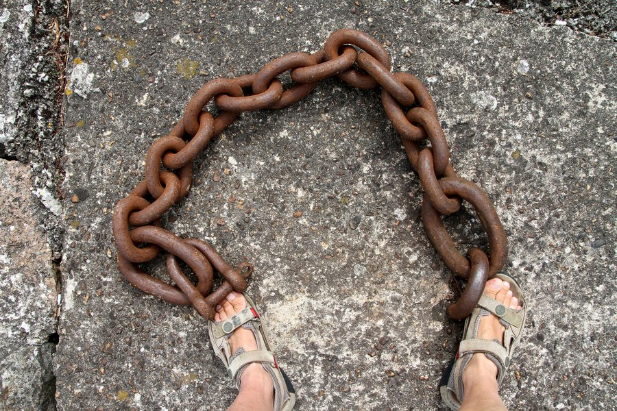 File:Lekkerkerk-14-Kette-Fuesse-2010-gje.jpg
Photo: Gerd Eichmann via Wikimedia Commons, CC BY-SA 4.0
File:Lekkerkerk-14-Kette-Fuesse-2010-gje.jpg
Photo: Gerd Eichmann via Wikimedia Commons, CC BY-SA 4.0
Also, Krimpen aan de Lek is one of the villages in this region.
History
In the historic part of Lekkerkerk, the Dorpskerk stands on Kerkplein, a church building dating from the 13th century. As a Rijksmonument, it is of great historical value. In 1575, the church and the entire village were burned down by the Spanish. It took another 40 years before a usable church building stood there again. In January and February 1760, breaches occurred in the dike. The historic Muur van Lekkerkerk was then replaced by a wall made of IJssel bricks. The steps of the Muur van Lekkerkerk were used to collect water from the Lek for washing. They were also used for fishing in the river. Through the openings, ships were unloaded to supply local shops and businesses. The Muur therefore reveals water collection, fishing and the handling of goods as different former uses of the same structure. The historical information connects the church site on Kerkplein with the development of the dike wall and activities along the river.
Nature
Near Lekkerkerk lies the Eendenkooi Bakkerswaal, which covers an area of 22 hectares. It is the largest duck decoy still in use in the Netherlands. Bakkerswaal was formed during the great Elizabeth flood of 1421 as a kolk created by a breach in the dike. At the foot of the Lekdijk, there is a birdwatching site at the Eendenkooi, offering a wide view over the Kooiplas. North of Bakkerswaal, there is a publicly accessible walking trail that can be explored on foot. This natural area therefore combines its origin as a kolk created by a dike breach with its present-day use as a duck decoy and observation site.
Paths and Views
From the observation tower in the Den Hoek nature reserve, visitors have a beautiful view of the unique strip-field landscape of the Veenweiden Krimpenerwaard NNN area. The observation tower in the Den Hoek nature reserve is easily accessible on foot and by bicycle. At the start of the Ockerse kade, on the road running parallel to the N210 provincial road, there is a car park. The viewpoint combines a view across the strip-field landscape with an expressly mentioned access route on foot and by bicycle. The car park is located at the start of the Ockerse kade, on the described road running parallel to the N210.
Transport
Bus route 292 connects Capelsebrug in Rotterdam with Lekkerkerk and stops in the village centre. For travelling by public transport, both Capelsebrug in Rotterdam and the stop in the village centre are therefore specified as fixed points.
For the higher-level travel overview: Nederlek.

