
Holiday apartment in Schardam: locks, church and Markermeer
Accommodation in Schardam
Schardam combines hydraulic engineering, religious heritage and open landscapes within a small area. Locks with a military history, a small village church and routes along the dike, the Markermeer and through wetlands are among the specific points of interest in Schardam. The topics range from the history of the Stelling van Amsterdam and the architectural form of the church to seasonal birdwatching and the topography of the dike and polder.
Locks, dikes and routes
Just north of Schardam lies the Hornsluis at Lutje Schardam. The Rijksmonument dates from 1735. In the event of an enemy threat, the Hornsluis was used as an inundation lock for the Stelling van Amsterdam.
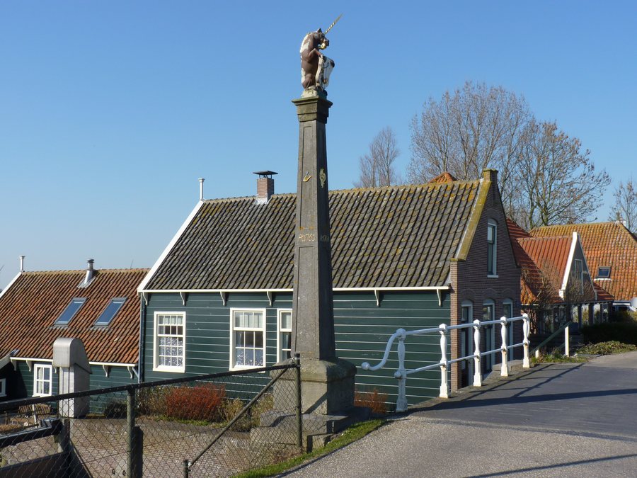
Schardam is also home to the Noorder- en Zuidersluis. Among other things, they are inlet locks for the Stelling van Amsterdam and are also Rijksmonumenten. The locks of Schardam lie on the walking route of the third stage of the Zuiderzeepad. On the Amsterdam–Hoorn section of the Zuiderzeeroute, the cycle route passes over the locks of Schardam. The distinction is specific when planning routes: here, the Zuiderzeepad is a walking route, while the Zuiderzeeroute is a cycling connection along the Amsterdam–Hoorn section.
Church and religious heritage
Another building is the Reformed Church at Schardam 27. The small single-nave building has a five-sided chancel and probably dates from 1662. The tower contains a bell made by Geert van Wou in 1497. For those interested in culture, the architectural form, probable year of construction and bell are the specific points of interest at this address.
The Kerkenroute is part of a larger provincial QR route focusing on religious heritage in Noord-Holland. It passes the churches of Kwadijk, Middelie, Oosthuizen, Beets, Schardam, Etersheim and Warder.
Markermeer, Oosterkoog and landscape routes
North of the locks of Schardam, the road leads onto a dike. From there, there are expansive views across the Markermeer and, in the distance, of the skyline of Hoorn. The final section of the walk runs along the wet Oosterkoog on the edge of the Markermeer. Eurasian curlews occur there in winter, and black-tailed godwits in spring. The view of the skyline of Hoorn complements the wide view over the water with a cityscape. For nature observation, the seasonal aspect is specific: Eurasian curlews are the focus in winter, and black-tailed godwits in spring.
The Kogen- en brakenroute also passes Schardam and runs along the Etersheimerbraak. Clay was extracted at the Etersheimerbraak to reinforce the sea dike. The lowest point in Noord-Holland is located there; there is a difference in elevation of ten metres between the dike and the polder.
When choosing a route, you can distinguish between the walking route of the third stage of the Zuiderzeepad, the Amsterdam–Hoorn cycling section and the Kogen- en brakenroute, which passes Schardam and runs along the Etersheimerbraak. The views over the Markermeer from the dike and birdwatching at the wet Oosterkoog are part of the walking section north of the locks.
For the overarching travel overview: Zeevang.

