
Holiday apartment in Ubbergen: Hiking between moraine and Waal
Accommodation in Ubbergen
Ubbergen lies on the slope of a glacial push moraine. Small vineyards and ancient deciduous woodland characterize the village, while views across the Waal and Ooijpolder open up from the edge of the moraine. The nationally protected villagescape lies east of the city of Nijmegen on this glacial push moraine. The landscape and villagescape are therefore closely connected spatially: the moraine slope, the village center and the lower-lying areas at the foot of the hill range form the different sides of Ubbergen.
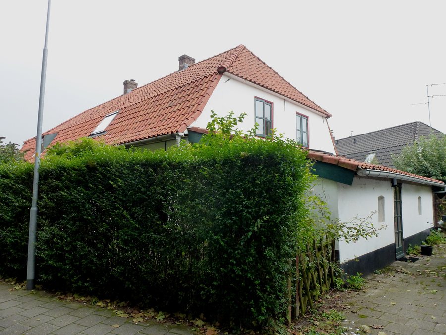 File:Beek (Ubbergen) Bongerdstraat 18 achter = Esdoornstraat 48.JPG
Photo: Havang(nl) via Wikimedia Commons, CC0
Culture and villagescape in Ubbergen
The Hervormde Kerk Ubbergen currently serves as a Reformed church and multifunctional space. De Refter is a neo-Gothic complex built between 1910 and 1916, consisting of a single-nave chapel and a boarding house. Today, De Refter serves as a communal residence. Ter Meer, also known as De Refter, formerly housed the Notre Dame des Anges convent. The chapel and boarding house form the neo-Gothic complex; the current communal residence stands alongside its former monastic use.
Walking routes across the moraine
The Dorpsommetje Ubbergen-hoog is a 5.5 km walking route through the village center and across the Ubbergen glacial push moraine. It runs along the Rijksstraatweg, where villas are lined up on both sides of the road like a monumental chain. The starting point is a five-minute walk from the Ubbergen – Ubbergse Holleweg bus stop on route 80 between Nijmegen and Millingen. The five-minute walk from the stop to the starting point adds a short access section to the designated circular route. On this route, the path through the village center connects with the route across the moraine slope; the villas along the Rijksstraatweg provide a clear architectural accent.
The Dorpsommetje Ubbergen-laag offers a shorter 3.7 km route through the low-lying, wet part of Ubbergen. The path leads through the spring area at the foot of the hill range and through the polder of Beek. It also includes a footbridge with a viewpoint over Zwanenbroekje and the Ooijpolder, as well as the Koen Vandepoelpad, a boardwalk across a marshland area. Compared with the hoog route, this route is shorter and shifts from the village center and moraine slope to the spring area, polder and wetland. The bridge and boardwalk mark two specific points within this landscape. The two lengths provide different time frames for a walk through these landscapes.
More routes for active days
The N70 Nature Trail leads to the summit of the Ravenberg and to a viewpoint overlooking the spring area. At the Ubbergen village sign, it turns toward Beukenlaan. The summit and viewpoint give this route its own focus within the landscape around Ubbergen.
Discover nearby destinations
Other places in the area: Ooij and Beek-Ubbergen.
Back to the main travel overview: Ubbergen.

