
Odoorn: Hiking Trails, Cultural History and Heathland
Accommodation in Odoorn
Those who explore Odoorn encounter history in very different forms: in the choir of the Margarethakerk, at the Eppiesbergje burial mound and in a heathland area in the middle of the forest. The picture is rounded out by hiking and cycling routes of different lengths and themes. When choosing a holiday home, this provides a clear point of reference: consider whether your holiday days are more about hiking, cycling or cultural-historical discoveries. The places and routes each set their own accents.
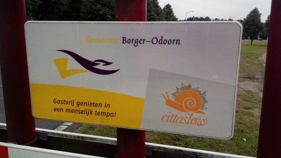 File:Gemeente Borger-Odoorn sign, Nieuw-Buinen (2019) 01.jpg
Photo: Photo: Donald Trung Quoc Don (Chữ Hán: 徵國單) - Wikimedia Commons - © CC BY-SA 4.0 International . ( Want to use this image? ) Original publication : -- Donald Trung 『徵國單』 ( No Fake News ) ( WikiProject Numismatics ) ( Articles ) 23:26, 30 May 2019 (UTC)
File:Gemeente Borger-Odoorn sign, Nieuw-Buinen (2019) 01.jpg
Photo: Photo: Donald Trung Quoc Don (Chữ Hán: 徵國單) - Wikimedia Commons - © CC BY-SA 4.0 International . ( Want to use this image? ) Original publication : -- Donald Trung 『徵國單』 ( No Fake News ) ( WikiProject Numismatics ) ( Articles ) 23:26, 30 May 2019 (UTC)
Traces of culture in Odoorn and the surrounding area
The choir of the Margarethakerk in Odoorn dates from around 1200. The church has been restored and made suitable for cultural activities. This brings together architectural history and a cultural focus.
The Eppiesbergje burial mound lies in the fields north of the road from Odoorn to Valthe and originally dates from around 2500 BC. On the Ellertsveld route, Eppiesbergje is a rest stop; a sign there provides information about its history. The mound thus combines an archaeological reference with a stop along the route.
Hunebed D34, a so-called portal tomb, is also located in the vicinity of Odoorn. The route to Hunebed D32 is signposted from Odoorn along the Borgerderweg and leads via a sandy path. Route and access information may change; check the latest details before setting out.
Hiking with different focuses
On the Pelgrimspad Odoorn, you can choose between 9.5 and 6.5 kilometres. The difference in length provides a clear point of reference when selecting your hike for the day. The Schapenpark hiking route runs through the Boswachterij Odoorn on the Hondsrug and, among other places, through the Schapenpark. Here, the route through the forest and the detour to the Schapenpark provide the main points of orientation.
Dichter bij Odoorn is an approximately 7-kilometre hiking and cycling route through the Drenthe village of Odoorn. On the Pelgrimspad, you choose between two hiking distances; with Dichter bij Odoorn, the main choice is between going on foot or by bike. This lets you compare the routes first by length or by the intended mode of transport. Check the latest route details before your trip.
Heathland, forest and cycling routes
The Schapenpark is a heathland area in the middle of the forest. It came into being after a devastating storm in 1972: Staatsbosbeheer had sheep graze there instead of replanting all the felled trees. The landscape thus combines an unusual juxtaposition of heathland and forest with a specific story about how it came about.
The summit of Poolshoogte hill is 38 metres above NAP. The Poolshoogte viewing tower in the Boswachterij Odoorn was rebuilt in 2000. At Poolshoogte, the measured height of the hill and the history of the rebuilt tower are two distinct points of reference.
Two cycling routes offer different ways to find your way: “Klimmend over ijstijdheuvels” uses the cycling junction network; signs along the way point from one junction to the next. Another cycling route, about 10 kilometres long, runs through the Boswachterij Odoorn and the village of Odoorn. Parking for this route is available at Restaurant Poolshoogte, at Boswachter Meelkerlaan 5 (7873 TE Odoorn), at Schaapstreek 2 (7873 TG Odoorn), and in the centre of Odoorn. Route and parking information may change; check the latest details before setting off.
Discover more travel destinations
Discover more travel destinations: Bronneger, Drouwenermond, Valthe, Ees, Eesergroen, Klijndijk, Drouwen, Exloo.
See the overview of the wider area: Borger-Odoorn.
