
Discover Krölpa: History and the Zechstein Reef
Accommodation in Krölpa
Krölpa combines local history with a nature experience on the Zechstein Reef Pinsenberg geological trail. Other points of interest include St Peter and Paul’s Church, the area’s early settlement history and the architectural history of Krölpa Castle. This gives you a choice between historical topics and a circular trail with a set time commitment when deciding what to focus on during your stay.
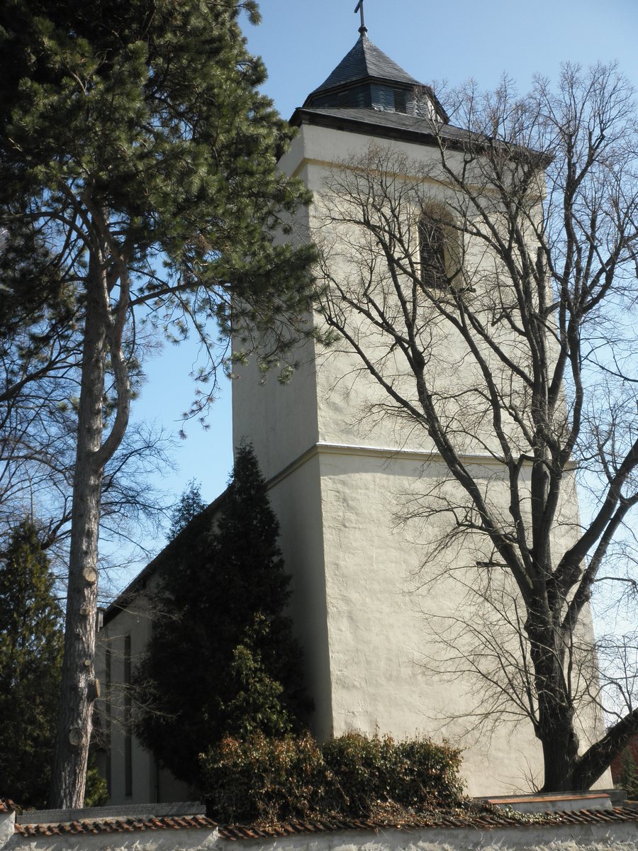
Church and local history
St Peter and Paul’s is considered the oldest church in the Orlagau region. The imposing building stands on a hill on the edge of Krölpa and is visible from afar. The parish dates back to the 17th century. The church brings together the region’s historical context, its prominent location and the parish’s history as distinct aspects of the area. It is a tangible starting point if you are interested in church and local history.
Krölpa was founded as a Sorbian settlement and was first mentioned in 1071 under the name “Cralip”. Krölpa Castle was built around 1730 on the site of a former manor belonging to the von Brandenstein family. The early settlement history and the construction of the castle represent different historical periods. The date and the former site of the manor provide a specific connection between the castle’s architectural history and the area.
Geological trail and spring nature
The Zechstein Reef Pinsenberg geological trail is a 5.5-kilometre circular route that takes 1.5 to 2 hours to complete. It is suitable for families with children. However, only part of the trail is paved, so it is only partially accessible to pushchairs and wheelchairs. The walking time and trail surface answer different planning questions: how much time would you like to allow for the route, and what kind of surface is important for your group?
Timing also matters when observing nature. In the municipality, you can see the protected pasqueflower on Clydenberg in early spring; it has become rare in the area. If this plant is important to you, early spring offers a specific seasonal opportunity.
If you are looking for a holiday rental in Krölpa, you can choose what to focus on based on your preferred holiday rhythm: historical topics, a circular trail with a walking time of 1.5 to 2 hours, or observing nature in early spring. This lets you take your family’s interests and your preferred time frame into account when choosing where to stay.
More to explore in the wider Saale-Orla travel region
The wider Saale-Orla travel region adds a larger-scale water theme, with the River Saale and the Saale Cascade. Together with the approximately 80-kilometre-long Saale Cascade, which has five dams, the Saale forms the largest contiguous reservoir area in Europe, known as the Thuringian Sea. Bleiloch Reservoir is Germany’s largest reservoir. These landscape features complement Krölpa’s local history and Zechstein Reef themes with a different regional focus.
Culture and technology offer their own highlights in the wider travel region. The Heinrichshütte foundry in Wurzbach is home to Europe’s largest and most powerful steam engine. Heinrichshütte is an interactive museum where visitors can touch and take part, and it welcomes families with children as well as children from nurseries and schools. Schloß Burgk Museum houses historic living and exhibition rooms with valuable interiors, as well as collections and exhibitions; concerts and festivals are also held there. Its bookplate collection comprises more than 200,000 prints and is the largest specialist collection in the museum.
Discover more destinations: Ranis, Altengesees, Tanna, Keila, Dreba, Wurzbach, Lausnitz bei Neustadt an der Orla, Saalburg-Ebersdorf.
Go to the main travel overview: Saale-Orla.

