
Northeim: Holiday Apartments and Holiday Homes
Accommodation in Northeim
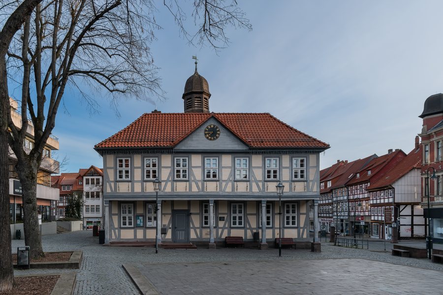
Northeim has a local history museum associated with an exhibition held there. The connection between the museum and the exhibition points to a cultural perspective on the town, in which local history is not considered separately from the city. Thus, alongside the landscape, there is also a specific place within the city for historical and cultural topics.
Culture
Katlenburg Castle and Plesse Castle are located in the vicinity of Northeim. St. Sixti Church in Northeim is located in the nearby area of Northeim. In the wider regional surroundings of Northeim are the Marthahöhle Cave, the Jettenhöhle Cave and the Göttingen Teutonic Order Commandery. Teufelsberg and Breiteberg are located in the nearby area of Northeim.
The destinations mentioned include castles, a church, caves and a commandery. Katlenburg and Plesse are castles, St. Sixti Church is a church, the Marthahöhle and Jettenhöhle are caves, and the Göttingen Teutonic Order Commandery is a commandery. Thus, different historical and landscape-oriented places stand alongside one another in the nearer and wider surroundings, without having to be grouped into a single type of destination.
Geographical Classification
The Rhume flows through the city of Northeim within the district. A river course is also part of the geographical description of the city within the district. The Northeim district is located in the Weser Uplands in Lower Saxony. The Weser forms its western boundary, while the Leine crosses the district from south to north. Their geographical relationships differ: the Weser borders the district on its western side, while the Leine runs through it in a north-south direction.
The Northeim district has historical links to the Duchy of Brunswick-Lüneburg, Hanover and Prussia. These links supplement the geographical classification with several historical contexts, without reducing the district to just one era or a single political area. The regional description thus combines landscape, waterways and history in a shared geographical perspective.
Nature
The district encompasses river corridors and the hilly landscape of the Solling. Watercourses and a varied, relief-rich landscape stand alongside one another and shape two clearly distinguishable aspects of the regional description. The Rhume forms part of the urban classification of Northeim, while the Weser and Leine determine the larger structure of the district. The surrounding area can therefore be viewed in terms of river landscapes and upland terrain as different but related landscape themes.
Numerous paths in the district can be explored on foot or by bicycle. Anyone wishing to discover the Northeim district on foot or by bicycle will find numerous paths for this purpose. These paths belong to the landscape of the river corridors and the hilly Solling. The two means of transport mentioned place different emphases: hiking and cycling are both part of the description of the paths, without this implying a specific route or itinerary.
The topics include culture and historical sites, the Rhume, Weser and Leine, river corridors and the Solling, as well as hiking and cycling on numerous paths. The selection thus ranges from individual architectural and cultural destinations through waterways and historical connections to paths through the regional landscape.
Further reading: Bad Gandersheim, Bodenfelde, Dassel, Einbeck, Hardegsen, Kalefeld, Katlenburg-Lindau, Moringen, Nörten-Hardenberg, Northeim, Uslar.
For the overarching travel overview: Lower Saxony.

.jpg)