
Kohlberg: Nature Trail, Fruit Diversity and Historic Roads
Accommodation in Kohlberg
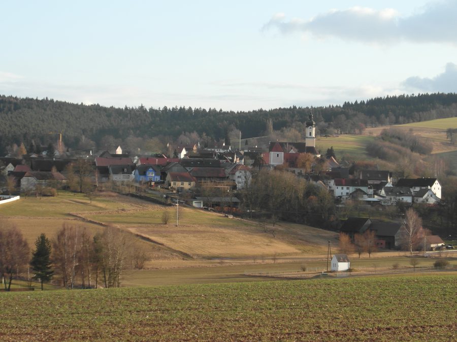
Kohlberg can be explored via two hiking routes: the signposted Klingenbachtal Nature Experience Trail is a circular route about 3 km long, while the hike along historic roads covers about 6.2 km. A traditional orchard meadow in the nature trail area, a summit cross on the Kohlbühl and views from the Dreifaltigkeit viewpoint as far as the Franconian Jura bring the local walking themes to life.
Habitats and fruit varieties in the Klingenbachtal
The signposted Klingenbachtal Nature Experience Trail in Kohlberg is a circular route about 3 km long, with information boards about various habitats and how the landscape is used. Alongside its length, the boards give the trail a clear focus. A traditional orchard meadow has been established in the nature trail area. Fruit trees bearing 35 different varieties of apples, pears and damsons have also been planted along the Weißen Weg and Bernsteinstraße. This brings together the habitats and landscape use covered by the information boards with a specifically named diversity of fruit.
Hike along historic roads
The hike along historic roads, about 6.2 km long, begins on Flurstraße, a few metres east of the Catholic church in Kohlberg. It is about twice as long as the nature trail—a clear comparison when planning how much walking you want to do. A detour from the hike leads to a summit cross on the Kohlbühl, the highest point of the Kohlberg Heights at 588 metres. From the Dreifaltigkeit viewpoint on the hike, you can see west as far as the Franconian Jura. The summit cross and viewpoint offer different highlights: a named destination at the highest point of the Kohlberg Heights, and views as far as the Franconian Jura.
Historic connections and cycling route
Another historic feature of Kohlberg is the Bernsteinstraße. It was one of several historic routes between the North and Baltic Seas and the Adriatic, and probably dates back to pre-Christian times. Alongside local walking routes, it thus offers a glimpse of a far-reaching connection between the northern seas and the Adriatic. St Nicholas Church is also on Route 7 of the Ecumenical Churches Cycle Route, adding a cycling link to the hiking themes.
A different route scale in the wider destination
The wider destination of Neustadt An Der Waldnaab offers a much longer route: the Bockl runs for 52 km from Neustadt an der Waldnaab to Eslarn along a historic railway line. It can be used on foot, by bicycle or on inline skates. The route is mostly paved and traffic-free; its gradients rarely exceed 3 per cent. Compared with Kohlberg’s circular route of about 3 km, the Bockl is on a different scale, including in terms of its three modes of transport. This comparison helps distinguish local hikes from longer routes in the wider destination when planning.
Choose the right focus for your stay
If you are looking for a holiday apartment in Kohlberg, the local walking routes can help shape your plans for outings: a circular walk of about 3 km with information boards, or the roughly 6.2 km hike along historic roads. This makes it easier to match your preferred walking distance with your interest in nature or history before choosing a holiday apartment.
Discover more destinations: Georgenberg, Luhe-Wildenau, Weiherhammer, Schirmitz, Waldthurn, Pleystein, Trabitz, Eslarn
Back to the main travel overview: Neustadt An Der Waldnaab.

