
Heinersreuth: Floodplain Meadows, an Ecological Nature Trail and Mill History
Accommodation in Heinersreuth
Floodplain meadows, an ecological nature trail exploring nature and cultural landscapes, and a mill with a long history give Heinersreuth its distinct character. During your stay, you can focus on the landscape, the trail’s themes, or a circular route with specific details on distance and walking time.
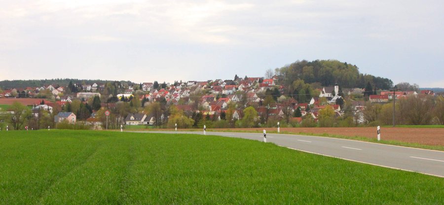
Floodplain Meadows and the Surrounding Regional Landscape
The floodplain meadows of the Rotmain floodplain are considered especially characteristic of Heinersreuth and valuable for nature. A trail guide from 2002 highlights their significance. In the wider surrounding region, the Red Main meanders through the Rotmain Valley. The locally distinctive floodplain meadows are thus set alongside a landscape that describes the broader regional setting.
Ecological Nature Trail: Understanding the Landscape
The Heinersreuth–Altenplos ecological nature trail shares information about the cultural landscape, its living things, how people use the landscape, and ecological relationships. The section of the Rot-Main-Auen-Weg around Heinersreuth includes the ecological nature trail. If you want not only to cover a route but also to consider the connections between nature and human use, this trail offers a thematic focus.
A brochure from 2002 lists three starting points: the cycle path at the edge of Heinersreuth heading towards Altenplos, the centre of Unterkonnersreuth, and the centre of Altenplos near the Moreth inn. An owl is given as the trail marker. As the brochure is older and route details may have changed, check the current route before your visit.
Circular Route via Martinsreuth and the Mill Stop
The marked circular route via Martinsreuth is five kilometres long and passes through Heinersreuth with only gentle climbs. It starts and ends at Heinersreuth Mill, Mühlstraße 9. A map sheet, printed on 15 July 2020, gives an elevation gain of 20 metres and a walking time of about 1 hour 30 minutes. The distance and approximate duration provide a concrete framework for planning your day; check the current route before setting off.
Heinersreuth Mill was first documented in the Bayreuth Land Register in 1398. Today it is used as a residence. It is also a stop on the “Around Heinersreuth” route and the starting and finishing point of the circular route via Martinsreuth. The mill’s name thus features both in the local history and in finding your way along the trails.
Plan a Stay That Suits You
When choosing a holiday apartment in Heinersreuth, you can first consider which day plan appeals to you most: the ecological nature trail focuses on the landscape and its living things, while the circular route via Martinsreuth offers a stated distance and approximate walking time. This lets you shape your search around the trails you actually want to use.
This distinction can also be helpful when planning together with children: Would you like to draw attention to ecological relationships, or would you rather plan a hike with a stated distance and duration? Your answer can set the pace for the day, without suggesting that both trails offer the same experience.
Heinersreuth in the Wider Bayreuth Travel Region
Beyond Heinersreuth, the wider Bayreuth travel region offers other landscape themes. In the district of Bayreuth, Franconian Switzerland shapes the western and southern parts; the Fichtelgebirge, with its dark forests and granite boulder fields, characterises the northern part. This broader perspective complements the view of Heinersreuth’s floodplain meadows and local trails with the region’s varied landscapes.
Discover more destinations: Bindlach, Warmensteinach, Mehlmeisel, Glashütten, Bayreuth, Bad Berneck Im Fichtelgebirge, Waischenfeld, Eckersdorf.
Back to the main travel overview: Bayreuth.

