
Grafling: The Valley and Its Hiking Trails
Accommodation in Grafling
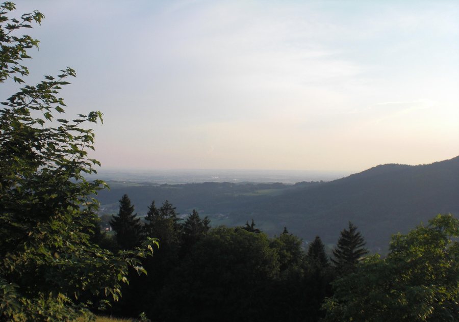
The Grafling Valley gives Grafling a distinctive landscape: the Kohlbach stream runs through it, rises on the Vogelsang and flows into the Danube near Deggendorf. The valley is considered one of the most beautiful in the Bavarian Forest and lies off the beaten track of mass tourism. If you would like to plan a stay around nature and outdoor activities, you will find two specific starting points here: the stream in the valley and the hiking trails in Grafling. When choosing a holiday apartment, it is worth first considering whether you would rather focus on a clearly defined circular route or explore several different trails.
A circular route with clear details
The Grafling–Ulrichsberg–Wühn–Grafling circular route combines a clearly defined trail with a specific time estimate: it is 7.5 kilometres long, has 335 metres of elevation gain and takes around 2.5 to 3 hours. It is classified as moderately difficult. The combination of distance, elevation gain, estimated duration and difficulty rating helps you gauge the scope of a day’s hike; the time range is a guide, not a fixed schedule.
Trails for different day plans
Grafling also has hiking trails, most of which are not too difficult for children, although conditions can vary from one trail to another. This general assessment and the classification of the circular route mentioned above as moderately difficult answer different questions: the first applies to most trails, while the second refers to a specific route. Families should therefore consider both alongside their preferred duration and distance. Some sections of the hiking trails follow forest roads that can also be cycled. This makes route choices appealing not only to hikers but also to cyclists on certain sections.
The Butzen circular trail is designated as Hiking Trail 6. The number makes it easy to identify this trail among the local options; check local conditions before setting out.
Nature trail and herb garden
There is an herb garden along the nature trail. Its connection with herbs gives this route a distinctive theme and makes it appealing to travellers interested in plants as well as route planning.
Deggendorf: Landscapes and views
The Kohlbach stream runs through the Grafling Valley; in the Deggendorf destination area, the Deggendorf region stretches from the heights of the Bavarian Forest across the Danube landscape, including the Isar’s confluence with the Danube, to the rich colours of the Gäuboden. Elevations there range from 200 to 1,150 metres above sea level. Natternberg Castle Ruins can be reached on footpaths from three sides and offer sweeping views across the Gäuboden and into the Bavarian Forest; the Winzer Castle Ruins are highlighted in the Deggendorf destination area for their magnificent view of the Danube Valley. The viewpoints offer different perspectives: Natternberg looks out over the Gäuboden and Bavarian Forest, while Winzer offers a view of the Danube Valley.
Discover more destinations: Offenberg, Plattling, Hengersberg, Osterhofen, Schöllnach, Hunding, Winzer, Lalling
Back to the main travel overview: Deggendorf.

