
Teisnach at the confluence of the Teisnach and the Schwarzer Regen
Accommodation in Teisnach
In Teisnach, the Teisnach River and the Schwarzer Regen meet. The market town is located in the Donau-Wald region, within the Bavarian Forest Nature Park. The river names and nature park give your trip a clear geographical reference; there are also several described hiking trails with different distance details. If you are looking for a holiday apartment for your vacation, you can consider Teisnach as a base for a stay shaped by hiking experiences and the town’s location at the confluence.
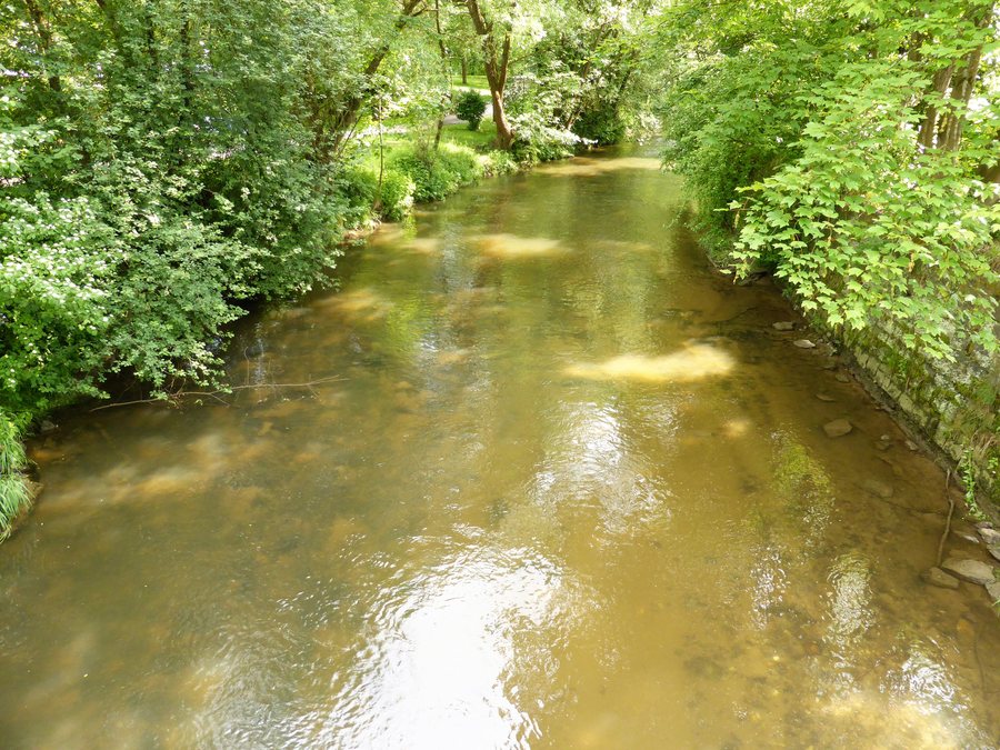 File:Fluss Teisnach in der Ortschaft Teisnach.jpg
Photo: Rosa-Maria Rinkl via Wikimedia Commons, CC BY-SA 4.0
File:Fluss Teisnach in der Ortschaft Teisnach.jpg
Photo: Rosa-Maria Rinkl via Wikimedia Commons, CC BY-SA 4.0
Rivers, the nature park and the Pfahl
The Teisnach’s confluence with the Schwarzer Regen is a distinctive feature of the town’s location. The Pfahl is also a geographical reference point: it runs through part of the municipality of Teisnach. If you enjoy discovering different places and experiences on vacation, you can use these names as inspiration for planning the rest of your trip.
When choosing your accommodation, it helps to consider what you have in mind for your trip: would you mainly like to focus on the hiking trails mentioned, or are you interested in Teisnach as a town in the nature park? The municipality brings together these different points of interest, while the specific route details apply to their respective trails. This lets you choose specifically which of the described routes interests you when planning.
Hiking trails with specific distance details
The signposted hiking trail from Teisnach to Ayrhof passes through Fernsdorf and is 6.0 km long. The stated distance gives you a clear figure for planning your day. If you are taking a family vacation with several outings, you can add this trail to your list of hiking options. The route via Fernsdorf also names another place along the way.
Another option described is the Bayerisch Kanada hiking route: it runs from the Waldbahn stop in Gumpenried to Teisnach railway station, is 6.5 kilometres long and takes about two hours. The approximate duration applies to this route. This helps you fit it into your vacation day based on its own details. The stated starting point and destination are part of the route description; on their own, they do not provide information about timetables or a return trip.
The section of the riverside hiking trail from Gumpenried to Teisnach, or in the opposite direction, is described as family-friendly and suitable for less experienced hikers. This gives you another hiking option, with its own description, in addition to the Bayerisch Kanada route. If you are planning a trip with children or people with varying levels of hiking experience, this explicit assessment is a useful guide. You can consider the two descriptions separately and choose the one that better suits your group.
Getting here and regional orientation
The municipality of Teisnach is very well connected to the wider road network via the B11 and B85 federal highways. This road access is a relevant consideration when choosing a vacation destination if you are travelling by car. The hiking trails also lead to specific places such as Ayrhof, Fernsdorf, Gumpenried and Teisnach railway station. These place and route names help you plan outings around the destinations actually mentioned, rather than assuming distances or connections between them.
The town also fits into a broader regional theme: the market town of Teisnach is a municipality along the new long-distance beer hiking trail. Together with its location in the nature park, the Pfahl within the municipality and the described hiking trails, this offers more than just one reason for an outing. Which of these features matters most to you can help determine whether you choose Teisnach as a vacation destination and which holiday apartment suits you.
Discover more places
Also explore Kaikenried. Other destinations you can discover on these pages include Rinchnach, Drachselsried, Zachenberg, Lindberg, Ruhmannsfelden, Langdorf and Regen.
For the broader travel overview: Regen.

