
Irota: Holiday Apartments and Houses
Accommodation in Irota
In the immediate surroundings of Irota, Felső Hosszú Hegy is recorded as a hill; Cigány-hegy is also recorded there as a hill. The mountain Szár-hegy is recorded in the surrounding area. In the wider regional surroundings, the mountain Červený Hrunec and the ruins of Svätý Ladislav are recorded.
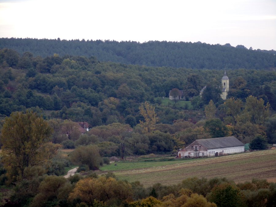
For travelers who want to place the character of the landscape around Irota at the center of their trip, this classification provides a specific point of reference.
You can rent a holiday apartment in Irota.
History
Irota was first documented in 1320.
Nature
Irota lies at an elevation of about 180 meters on the Vadász-patak, a stream that flows southward.
The highest peak in the municipality of Irota, Kecske-pad, lies about two kilometers north of the settlement and is approximately 340 meters high.
Rural Character
Traditional sources of livelihood in the area included sheep farming, forestry, and small-scale farming. In the 19th century, a quarry supplied bricks and roof tiles for local use.
Geographical Location
Irota is a municipality in the Edelény District, in Borsod-Abaúj-Zemplén County in northern Hungary.
More local pages for travel planning: Becskeháza, Jósvafő, Tornaszentandrás, Ziliz, Égerszög, Szuhogy, Komjáti, Bódvarákó.
For the higher-level travel overview: Edelényi.

